Image:Intracoastal Waterway at Bayou Barataria.jpg
From Wikipedia, the free encyclopedia
Size of this preview: 800 × 533 pixels
Full resolution (1,500 × 1,000 pixels, file size: 396 KB, MIME type: image/jpeg)
| | This is a file from the Wikimedia Commons. The description on its description page there is shown below.
|
| Description |
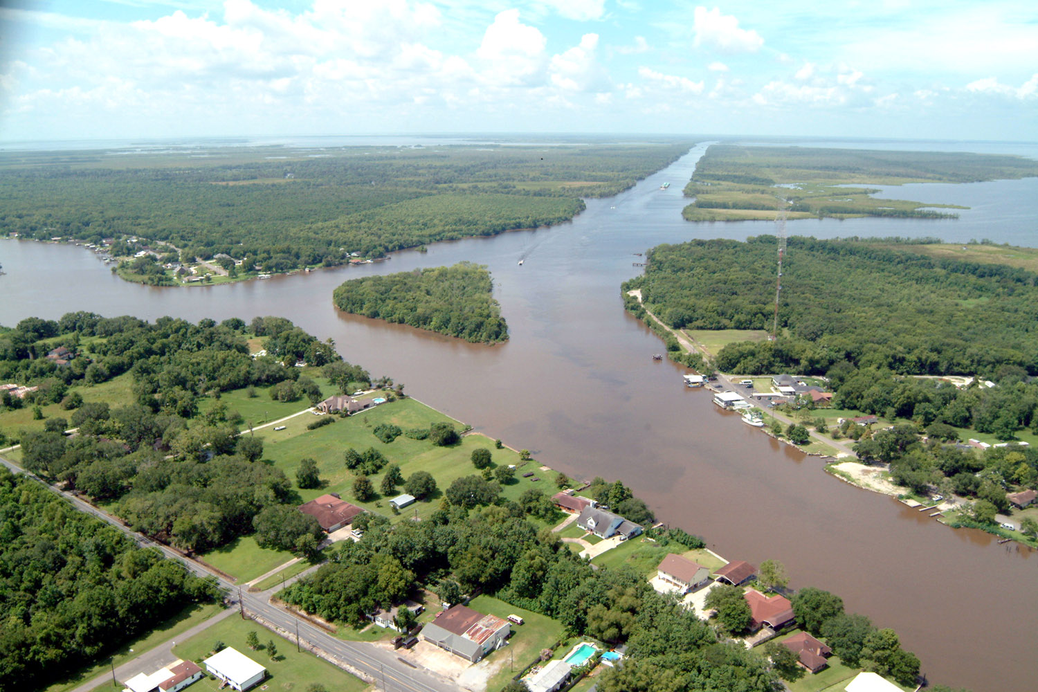
English: Aerial view of a northern section of Jean Lafitte, Louisiana at the Gulf Intracoastal Waterway (GIWW). The waterway stretches off to the southwest at the top of the picture and also turns right into the Bayou Villars and Lake Salvador at the right. Bayou Barataria runs off to the left.
|
|||
|---|---|---|---|---|
| Source |
U.S. Army Corps of Engineers Digital Visual Library |
|||
| Date |
2003-07-10 |
|||
| Author |
Lane Lefort, U.S. Army Corps of Engineers |
|||
| Permission (Reusing this image) |
|
| Camera location | This and other geocoded Commons images: | (Info) |
|---|
File history
Click on a date/time to view the file as it appeared at that time.
| Date/Time | Dimensions | User | Comment | |
|---|---|---|---|---|
| current | 23:23, 7 April 2007 | 1,500×1,000 (396 KB) | DanMS | ({{Information | Description = {{en|Aerial view of a northern section of Jean Lafitte, Louisiana at the Gulf Intracoastal Waterway (GIWW). The waterway stretches off to the southwest at the top of the picture and also turns right into the Bayou Villars ) |
File links
The following pages on the English Wikipedia link to this file (pages on other projects are not listed):
Metadata
This file contains additional information, probably added from the digital camera or scanner used to create or digitize it. If the file has been modified from its original state, some details may not fully reflect the modified file.
| Orientation | Normal |
|---|---|
| Horizontal resolution | 300 dpi |
| Vertical resolution | 300 dpi |
| Software used | Adobe Photoshop 7.0 |
| File change date and time | 12:16, 8 December 2004 |
| Color space | 65535 |

