Image:Interstate Alaska map.png
From Wikipedia, the free encyclopedia
Size of this preview: 800 × 483 pixels
Full resolution (2,128 × 1,286 pixels, file size: 84 KB, MIME type: image/png)
| | This is a file from the Wikimedia Commons. The description on its description page there is shown below.
|
| Description |
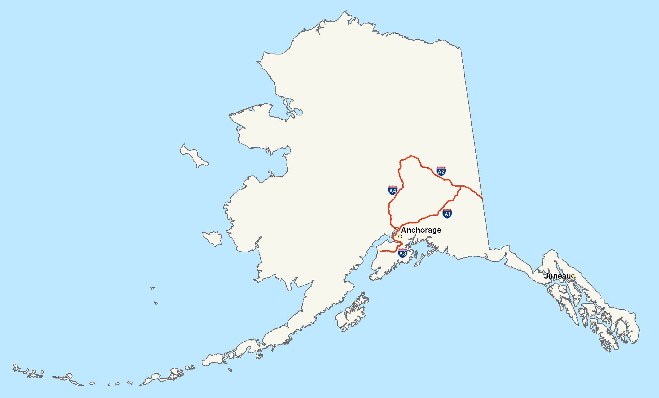
Map of Alaskan Interstate Highways (A1, A2, A3, A4) |
|---|---|
| Source |
Own Work |
| Date |
July 15, 2006 |
| Author | |
| Permission (Reusing this image) |
Own work, all rights released (Public domain) |
|

File history
Click on a date/time to view the file as it appeared at that time.
| Date/Time | Dimensions | User | Comment | |
|---|---|---|---|---|
| current | 05:44, 16 July 2006 | 2,128×1,286 (84 KB) | Stratosphere | |
| 05:33, 16 July 2006 | 2,205×1,239 (120 KB) | Stratosphere | ||
| 05:17, 16 July 2006 | 2,205×1,239 (75 KB) | Stratosphere | ({{Information| |Description=Map of Alaskan Interstate Highways (A1, A2, A3, A4) |Source=Own Work |Date=July 15, 2006 |Author=Nick Nolte |Permission=Own work, all rights released (Public domain) |other_versions= }} {{PD-self}} [[) |
File links
The following pages on the English Wikipedia link to this file (pages on other projects are not listed):

