Talk:Industrial District, Seattle, Washington
From Wikipedia, the free encyclopedia
There is a photo of the Industrial District when it was still tide flats showing the Seattle Box Co and both 4th Avenue South and South Spokane Street on pilings above the ground. I've seen it in the Seattle Times. I believe the original is in the University of Washington Archives. It's old enough that it's in the public domain but I have no idea how to find it.
[edit] larger boundaries
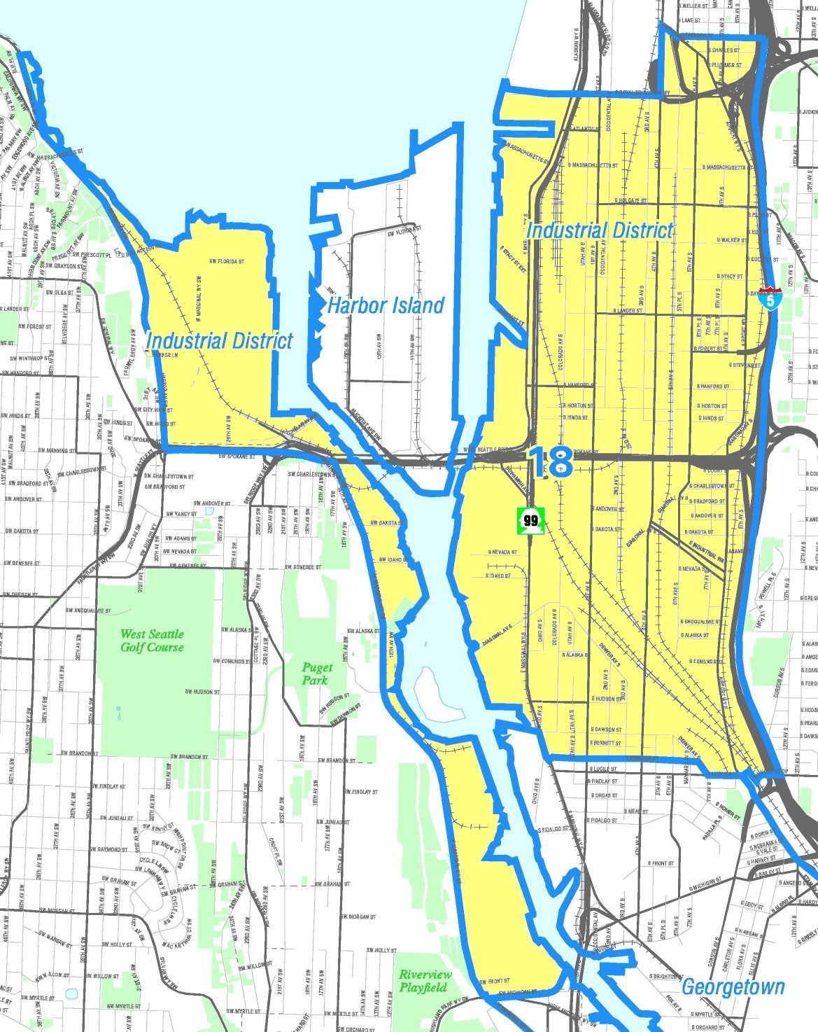
the city clerk's map shows this neighborhood includes a chunk of West Seattle (i.e., west of the Duwamish, over to Marine Drive and West Marginal. Is this worth correcting? See http://clerk.ci.seattle.wa.us/~public/nmaps/images/NN-1440L.Jpg Lupinelawyer 05:13, 8 Feb 2005 (UTC)
- I don't think so. The City Clerk's map is only for official use and in many cases doesn't represent what is considered "ground truth." Take a look at Ballard, for example. Nobody has ever heard of the sub-neighborhood "Adams," but they need subdivisions for indexing purposes. As far as most people are concerned, I think West Seattle begins at the Duwamish, where the Industrial District ends. --Lukobe 20:57, Feb 9, 2005 (UTC)

