Image:IndonesiaBali.png
From Wikipedia, the free encyclopedia
No higher resolution available.
IndonesiaBali.png (800 × 375 pixels, file size: 97 KB, MIME type: image/png)
| | This is a file from the Wikimedia Commons. The description on its description page there is shown below.
|

[edit] Summary
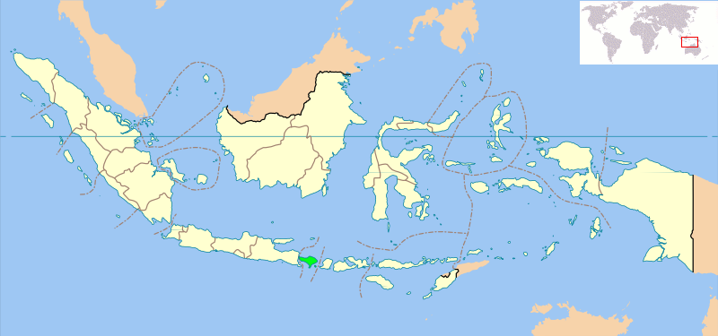
Locator map of Indonesian province of Bali showing provincial boundaries. Based on Image:Indonesia_provinces_blank_map.svg. Created for use in en:Wikiproject Indonesia Cartography.
NB: Please note, this map will probably need further editing in order to make the position of Bali clearer. For now, we are simply standardising all Indonesia Provincial locator maps, and will make additional changes once all standard maps have been uploaded.
[edit] Licensing
 |
Permission is granted to copy, distribute and/or modify this document under the terms of the GNU Free Documentation License, Version 1.2 or any later version published by the Free Software Foundation; with no Invariant Sections, no Front-Cover Texts, and no Back-Cover Texts. Subject to disclaimers. Asturianu | Български | Català | Deutsch | English | Español | Français | Gaeilge | Italiano | 한국어 | 日本語 | Polski | Português | Română | Türkçe | +/- |
File history
Click on a date/time to view the file as it appeared at that time.
| Date/Time | Dimensions | User | Comment | |
|---|---|---|---|---|
| current | 13:08, 6 March 2007 | 800×375 (97 KB) | Bwmodular | (New version of Locator Map, higher resolution map, standard across all Indonesian Province maps, showing West Irian Jaya province.) |
| 23:32, 2 October 2005 | 300×220 (14 KB) | Romanm | (uploaded current version from English Wikipedia) | |
| 00:59, 2 October 2005 | 300×220 (14 KB) | Fangz | (Reduced file size. Jeez, I'm making alot of mistakes, eh?) | |
| 00:55, 2 October 2005 | 300×220 (28 KB) | Fangz | (Reverted to earlier revision) | |
| 00:54, 2 October 2005 | 300×122 (7 KB) | Fangz | (Reverted to earlier revision) | |
| 00:53, 2 October 2005 | 300×220 (28 KB) | Fangz | (Edited to give global context. (Using BlankMap-World.png) Done using the Gimp) | |
| 05:36, 14 August 2005 | 300×122 (7 KB) | *drew | (Map of Indonesia showing the location of Bali. Taken from English Wikipedia. {{GFDL}} Category:Bali) |
File links
The following pages on the English Wikipedia link to this file (pages on other projects are not listed):

