Image:Indian key map.jpg
From Wikipedia, the free encyclopedia

No higher resolution available.
Indian_key_map.jpg (600 × 453 pixels, file size: 48 KB, MIME type: image/jpeg)
[edit] Summary
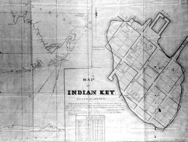
Indian Key map, 1840
Leader: kmKa0c
Fixed field data: kgbz
Fixed field data: 990526s1840 in d
Local call number: PR06697
Title: Map of Indian Key graphic
Publication info: 1840.
Physical descrip: 1 photonegative : b&w ; 3 x 5 in.
Series Title: (Print collections.)
Date/place captured: January 1, 1840.
Subject term: Maps--Florida.
Geographic term: Indian Key (Monroe County, Fla.)
[edit] Licensing
| This image is in the public domain in the United States. In most cases, this means that it was first published prior to January 1, 1923 (see the template documentation for more cases). Other jurisdictions may have other rules, and this image might not be in the public domain outside the United States. See Wikipedia:Public domain and Wikipedia:Copyrights for more details. |
File history
Click on a date/time to view the file as it appeared at that time.
| Date/Time | Dimensions | User | Comment | |
|---|---|---|---|---|
| current | 03:51, 24 June 2007 | 600×453 (48 KB) | Legionarius (Talk | contribs) | (Indian Key map, 1840 Leader: kmKa0c Fixed field data: kgbz Fixed field data: 990526s1840 in d Local call number: PR06697 Title: [Map of Indian Key] [graphic] Publication info: 1840. Physical descrip: 1 photonegative : b&w ; 3 x 5 in. Series ) |
- Search for duplicate files
- Edit this file using an external application
See the setup instructions for more information.
File links
The following pages on the English Wikipedia link to this file (pages on other projects are not listed):

