Image:Iles-Malouines.jpg
From Wikipedia, the free encyclopedia
Size of this preview: 800 × 556 pixels
Full resolution (1,863 × 1,294 pixels, file size: 626 KB, MIME type: image/jpeg)
| | This is a file from the Wikimedia Commons. The description on its description page there is shown below.
|
[edit] Summary
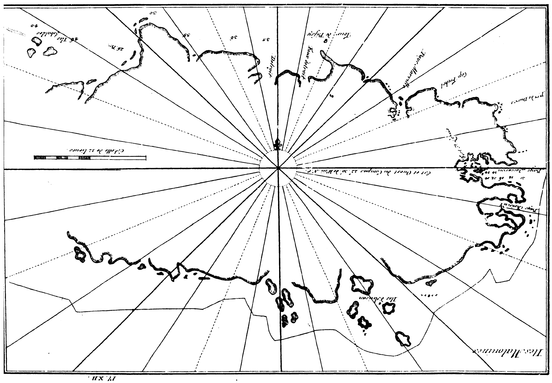
| Description |
Map of the Falkland Islands (Dom Pernety, 1769). |
|---|---|
| Source | |
| Date |
1769 |
| Author |
Antoine-Joseph Pernety |
| Permission (Reusing this image) |
see below |
[edit] Licensing
This photographic reproduction is therefore also in the public domain. العربية | Česky | Deutsch | English | Ελληνικά | Español | فارسی | Français | עברית | Bahasa Indonesia | Italiano | 日本語 | 한국어 | Magyar | Nederlands | Polski | Português | Română | Русский | Slovenščina | Српски / Srpski | Basa Sunda | Türkçe | Українська | 中文(繁體) | 中文(简体) | +/- |
File history
Click on a date/time to view the file as it appeared at that time.
| Date/Time | Dimensions | User | Comment | |
|---|---|---|---|---|
| current | 10:33, 24 November 2007 | 1,863×1,294 (626 KB) | Apcbg | (== Summary == {{Information |Description=Map of the Falkland Islands (Dom Pernety, 1769). |Source=http://gallica.bnf.fr/ark:/12148/bpt6k821758.pdf |Date=1769 |Author=Antoine-Joseph Pernety |Permission= |other_versions= }} == Licensing == {{PD-Art}} [[Ca) |

