Image:Iahairportmap.png
From Wikipedia, the free encyclopedia
Size of this preview: 600 × 600 pixels
Full resolution (2,550 × 2,550 pixels, file size: 795 KB, MIME type: image/png)
| | This is a file from the Wikimedia Commons. The description on its description page there is shown below.
|
| Description |
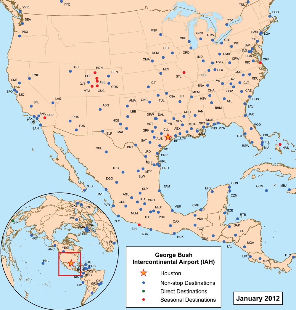
This is a route map for George Bush Intercontinental Airport as of June 2008. Map is an Azimuthal equidistant projection centered on the airport so straight lines from Houston are along great circle routes. Data source was individual airline websites and kayak.com. |
|---|---|
| Source |
self-made |
| Date |
May 14, 2008 |
| Author | |
| Permission (Reusing this image) |
see below |
|
File history
Click on a date/time to view the file as it appeared at that time.
| Date/Time | Dimensions | User | Comment | |
|---|---|---|---|---|
| current | 21:42, 14 May 2008 | 2,550×2,550 (795 KB) | Kmusser | ({{Information |Description=This is a route map for George Bush Intercontinental Airport as of June 2008. Map is an Azimuthal equidistant projection centered on the airp) |
File links
The following pages on the English Wikipedia link to this file (pages on other projects are not listed):

