Image:GvSIG - GIS.jpg
From Wikipedia, the free encyclopedia
Size of this preview: 800 × 481 pixels
Full resolution (1,280 × 770 pixels, file size: 607 KB, MIME type: image/jpeg)
| | This is a file from the Wikimedia Commons. The description on its description page there is shown below.
|
[edit] Sumario
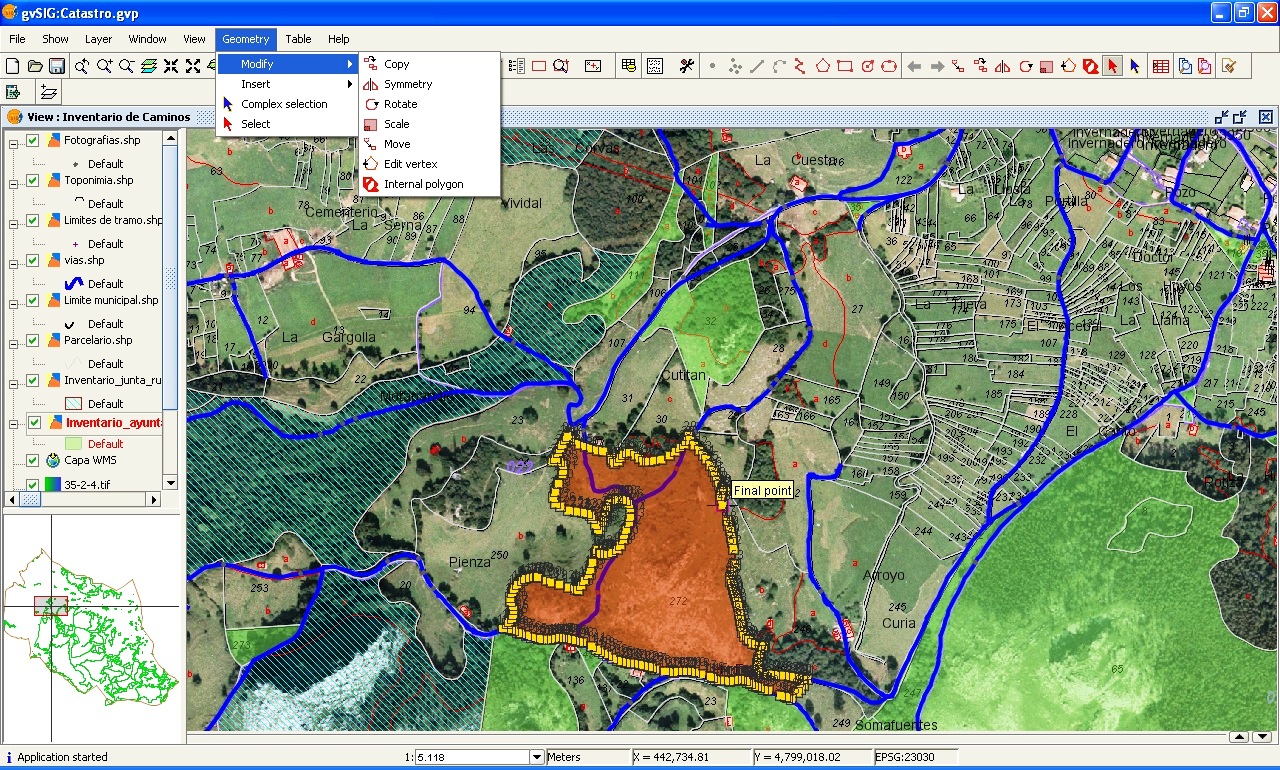
| Description |
Editing a cartography layer with the gvSIG 1.0 |
|---|---|
| Source |
Own work |
| Date |
2006-12-31 |
| Author | |
| Permission (Reusing this image) |
Creative Commons Attribution ShareAlike 2.5 License |
[edit] Licensing
|

File history
Click on a date/time to view the file as it appeared at that time.
| Date/Time | Dimensions | User | Comment | |
|---|---|---|---|---|
| current | 16:09, 1 January 2007 | 1,280×770 (607 KB) | Tony Rotondas | (== Sumario == {{Information |Description= Editing a cartography layer with the [http://www.gvsig.gva.es/index.php?id=gvsig&L=2 gvSIG] 1.0 |Source= Own work |Date= 2006-12-31 |Author= [http://commons.wikimedia.org/wiki/User_talk:Tony_Rotondas Emilio Gómez) |
| 15:32, 31 December 2006 | 1,280×770 (558 KB) | Tony Rotondas | (== Sumario == {{Information |Description= Editing a cartography layer with the gvSIG 1.0 |Source= Own work |Date= 2006-12-31 |Author= [http://commons.wikimedia.org/wiki/User_talk:Tony_Rotondas Tony Rotondas] |Permission= CC-BY-SA 2.5 }} == Licensing == {) |
File links
The following pages on the English Wikipedia link to this file (pages on other projects are not listed):

