Image:Greece prefectures map dark.PNG
From Wikipedia, the free encyclopedia
Size of this preview: 685 × 599 pixels
Full resolution (800 × 700 pixels, file size: 27 KB, MIME type: image/png)
| | This is a file from the Wikimedia Commons. The description on its description page there is shown below.
|
[edit] Summary
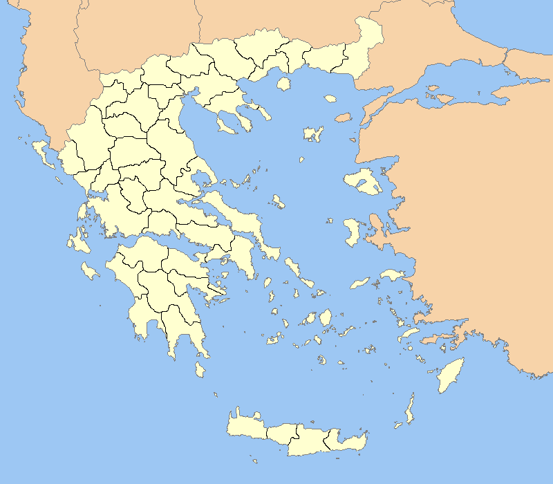
| Description |
This is Sparta located at the marked point. |
||
|---|---|---|---|
| Source |
Greece outline map.png |
||
| Date |
2/12/2007 |
||
| Author |
ChrisO/El_Greco |
||
| Permission (Reusing this image) |
|
||
| Other versions | Adapted from Image:Greece outline map.png |
[edit] Licensing
| I, the copyright holder of this work, hereby release it into the public domain. This applies worldwide. In case this is not legally possible: Afrikaans | Alemannisch | Aragonés | العربية | Asturianu | Български | Català | Česky | Cymraeg | Dansk | Deutsch | Eʋegbe | Ελληνικά | English | Español | Esperanto | Euskara | Estremeñu | فارسی | Français | Galego | 한국어 | हिन्दी | Hrvatski | Ido | Bahasa Indonesia | Íslenska | Italiano | עברית | Kurdî / كوردی | Latina | Lietuvių | Latviešu | Magyar | Македонски | Bahasa Melayu | Nederlands | Norsk (bokmål) | Norsk (nynorsk) | 日本語 | Polski | Português | Ripoarisch | Română | Русский | Shqip | Slovenčina | Slovenščina | Српски / Srpski | Svenska | ไทย | Tagalog | Türkçe | Українська | Tiếng Việt | Walon | 中文(简体) | 中文(繁體) | zh-yue-hant | +/- |
File history
Click on a date/time to view the file as it appeared at that time.
| Date/Time | Dimensions | User | Comment | |
|---|---|---|---|---|
| current | 14:12, 12 February 2007 | 800×700 (27 KB) | El Spartan | ({{Information |Description= Outline map of the prefectures of Greece with a dark outline |Source=Greece outline map.png |Date=2/12/2007 |Author=ChrisO/El_Greco |Permission={{PD-Self}} |other_versions=Adapted from Image:Greece outline map.png }} ) |
File links
- Athens
- Corinth
- Lykaion
- Larissa
- Megara
- Thessaloniki
- Pylos
- Marathon, Greece
- Chania
- Heraklion
- Thebes, Greece
- Argos
- Eleusina
- Messene
- Vari
- Piraeus
- Chalcis
- Mytilene
- Laurium
- Kavala
- Mantineia
- Mystras
- Drama, Greece
- Serres
- Ioannina
- Preveza
- Trikala
- Grevena
- Kastoria
- Kozani
- Olympia, Greece
- Lechaina
- Vouprasia
- Andravida
- Megalopolis, Greece
- Lindos
- Kastro-Kyllini
- Eretria
- Hersonissos
- Malia (city)
- Amaliada
- Voies
- Monemvasia
- Volos
- Tanagra
- Xanthi
- Patras
- Xylokastro
- Kifissia
- Chalandri
- Agia Paraskevi
- Cholargos
- Ellinikon
- Korydallos
- Nea Ionia
- Psychiko
- Tripoli, Greece
- Ymittos
- Vrilissia
- Tegea
- Iolcos
- Marousi
- Portaria
- Argalasti
- Makrinitsa
- Zagora, Greece
- Almyros
- Paiania
- Lamia (city)
- Sitia
- Kyparissia
- Egaleo
- Rio, Greece
- Aigio
- Glyfada
- Agioi Theodoroi
- Aspropyrgos
- Kallithea
- Perama
- Vouliagmeni
- Acharnes
- Peristeri
- Vrachneika
- Anavyssos
- Monodendri
- Gastouni
- Vartholomio
- Lampeia
- Katerini
- Naupactus
- Metsovo
- Messatida
- Rethymno
- Kalamata
- Ermioni
- Geronthres
- Argostoli
- Imia/Kardak
- Filothei
- Pyrgos, Ilia
View more links to this file.

