Image:Glendora Curve 210,57.png
From Wikipedia, the free encyclopedia
Size of this preview: 756 × 600 pixels
Full resolution (1,008 × 800 pixels, file size: 1.79 MB, MIME type: image/png)
[edit] Licensing
| This image is a work of a United States Geological Survey employee, taken or made during the course of the person's official duties. As a work of the United States Government, the image is in the public domain. For more information, see the USGS copyright policy. See Wikipedia:Public domain and Wikipedia:Copyrights for more details. |
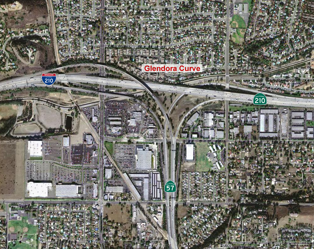
The Glendora Curve interchange complex. Underlying map is an aerial map obtained from the USGS The overlying work (freeway number shields, city labels, etc.) are by me.
File history
Click on a date/time to view the file as it appeared at that time.
| Date/Time | Dimensions | User | Comment | |
|---|---|---|---|---|
| current | 03:00, 2 December 2007 | 1,008×800 (1.79 MB) | Mikeetc (Talk | contribs) | (The Glendora Curve interchange complex. Underlying map is an aerial map obtained from the USGS The overlying work (freeway number shields, city labels, etc.) are by me.) |
- Search for duplicate files
- Edit this file using an external application
See the setup instructions for more information.
File links
The following pages on the English Wikipedia link to this file (pages on other projects are not listed):

