Image:Ghana empire map.png
From Wikipedia, the free encyclopedia
Size of this preview: 683 × 600 pixels
Full resolution (984 × 864 pixels, file size: 51 KB, MIME type: image/png)
| | This is a file from the Wikimedia Commons. The description on its description page there is shown below.
|
[edit] Beschreibung
| Description |
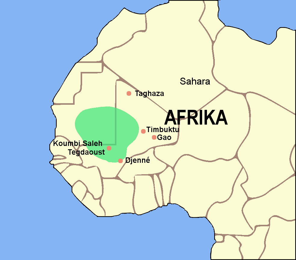
Deutsch: Karte vom Reich von Ghana. (Deutsche Version)
|
|---|---|
| Source | |
| Date |
27.08.2006 |
| Author | |
| Permission (Reusing this image) |
GNU Free Documentation License |
| Other versions |
If you want to have a version in other language, you can ask me.
[edit] Licensing

File history
Click on a date/time to view the file as it appeared at that time.
| Date/Time | Dimensions | User | Comment | |
|---|---|---|---|---|
| current | 16:27, 27 August 2006 | 984×864 (51 KB) | Luxo | (== Beschreibung == {{Information |Description='''en:''' Map of the Ghana Empire. (German version)<br>'''de:''' Karte vom Reich von Ghana. (Deutsche Version) |Source=Image:BlankMap-World gray.svg |Date=27.) |
| 22:02, 26 August 2006 | 984×864 (51 KB) | Luxo | ({{Information |Description='''en:'''Map of the Ghana empire.<br>'''de:'''Karte vom Reich von Ghana |Source=Image:BlankMap-World gray.svg |Date=27.08.2006 |Author=Luxo |Permission= GNU Free Documentation License ) |
File links
The following pages on the English Wikipedia link to this file (pages on other projects are not listed):

