Image:FukuiMapCurrent.png
From Wikipedia, the free encyclopedia
Size of this preview: 800 × 544 pixels
Full resolution (1,181 × 803 pixels, file size: 34 KB, MIME type: image/png)
| | This is a file from the Wikimedia Commons. The description on its description page there is shown below.
|
[edit] Summary
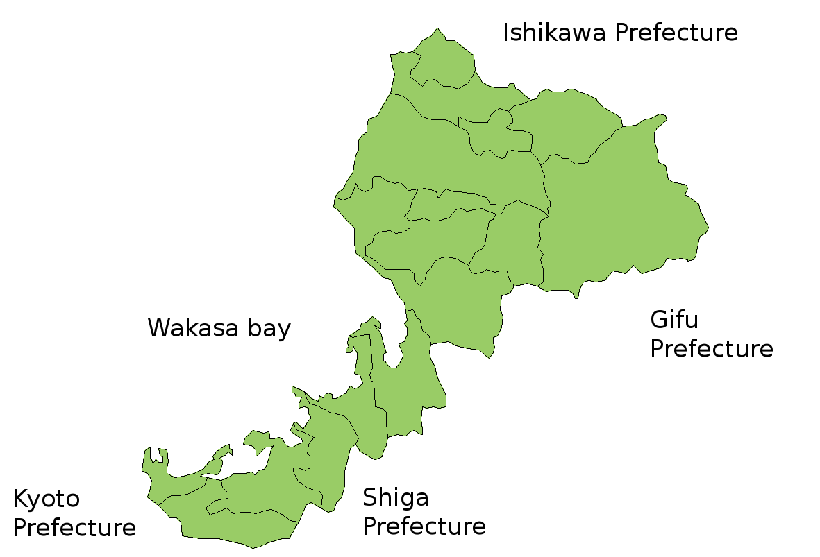
Map of Fukui Prefecture, Japan.
Thanks to Aoki Shigenobu and [1]. Colors from Image:TokyoMapCurrent.png by User:Fg2.
[edit] Licensing
 |
Shigenobu AOKI, the copyright holder of this file, allows anyone to use it for any purpose.
Note: You can use this template for maps made by Shigenobu AOKI. |
File history
Click on a date/time to view the file as it appeared at that time.
| Date/Time | Dimensions | User | Comment | |
|---|---|---|---|---|
| current | 05:37, 19 July 2006 | 1,181×803 (34 KB) | Akanemoto | (Reverted to earlier revision) |
| 12:19, 18 July 2006 | 930×803 (15 KB) | Akanemoto | (remove texts) | |
| 10:41, 18 July 2006 | 1,181×803 (34 KB) | Akanemoto | ( Map of Fukui Prefecture, Japan. Thanks to Aoki Shigenobu and [http://aoki2.si.gunma-u.ac.jp/map/map.html]. Colors from Image:TokyoMapCurrent.png by User:Fg2. Category:Maps of Fukui prefecture Category:Maps in English) |
File links
The following pages on the English Wikipedia link to this file (pages on other projects are not listed):

