Image:FSD airport map.PNG
From Wikipedia, the free encyclopedia
Size of this preview: 418 × 600 pixels
Full resolution (1,140 × 1,636 pixels, file size: 102 KB, MIME type: image/png)
| | This is a file from the Wikimedia Commons. The description on its description page there is shown below.
|
[edit] Summary
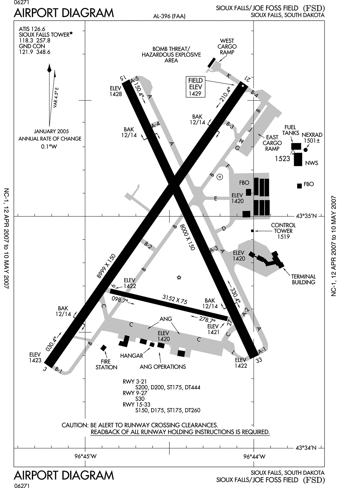
English: Airport diagram for Sioux Falls Regional Airport
[edit] Licensing
| This image is a work of a Federal Aviation Administration employee, taken or made during the course of an employee's official duties. As works of the U.S. federal government, all FAA images are in the public domain. |  |
File history
Click on a date/time to view the file as it appeared at that time.
| Date/Time | Dimensions | User | Comment | |
|---|---|---|---|---|
| current | 22:25, 12 May 2007 | 1,140×1,636 (102 KB) | Magic Al | (Airport diagram for Sioux Falls/Joe Foss Field) |
File links
The following pages on the English Wikipedia link to this file (pages on other projects are not listed):

