Image:France map with Loire highlighted.jpg
From Wikipedia, the free encyclopedia
Size of this preview: 600 × 600 pixels
Full resolution (1,797 × 1,796 pixels, file size: 845 KB, MIME type: image/jpeg)
| | This is a file from the Wikimedia Commons. The description on its description page there is shown below.
|
[edit] Summary
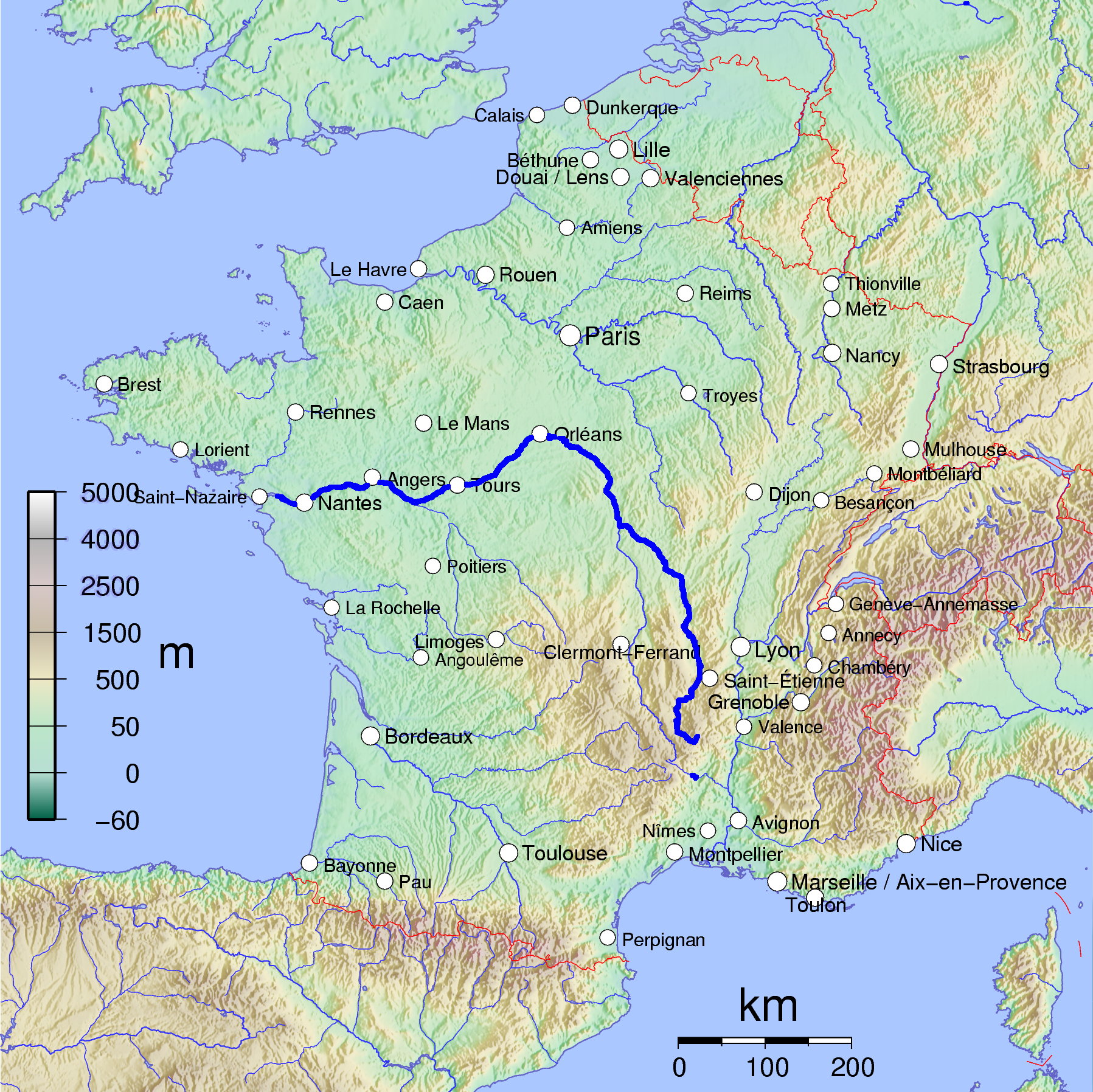
Map of France with river Loire higlighted. Based on France_cities.png.
[edit] Licensing
|

File history
Click on a date/time to view the file as it appeared at that time.
| Date/Time | Dimensions | User | Comment | |
|---|---|---|---|---|
| current | 12:00, 23 June 2007 | 1,797×1,796 (845 KB) | Speck-Made | (lossless optimization) |
| 10:26, 7 January 2006 | 1,797×1,796 (887 KB) | MatthiasKabel | (Map of France with river Loire higlighted. Based on France_cities.png. Category:France Category:Loire) |
File links
The following pages on the English Wikipedia link to this file (pages on other projects are not listed):

