Image:Fort Casey Cliff.jpg
From Wikipedia, the free encyclopedia
Size of this preview: 800 × 600 pixels
Full resolution (2,272 × 1,704 pixels, file size: 915 KB, MIME type: image/jpeg)
| | This is a file from the Wikimedia Commons. The description on its description page there is shown below.
|
| Description |
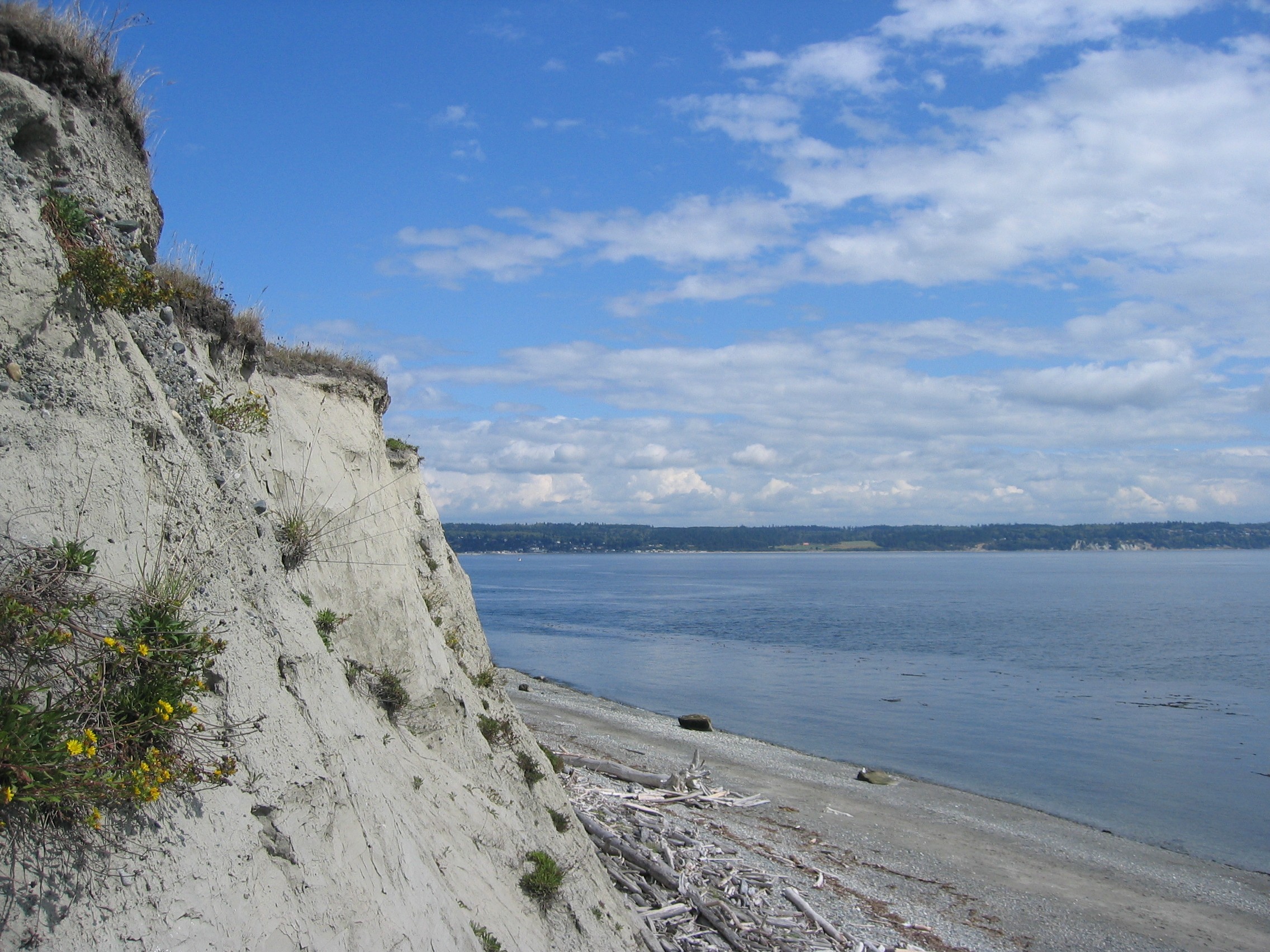
English: Cliff near Fort Casey on Whidbey Island, Washinton, USA.
Français : Falaise près de fort Casey sur l'île de Whidbey, Washinton, Etats-Unis.
Español: Acantilado cerca de la fortaleza Casey en la isla de Whidbey, Washinton, los E.E.U.U..
Deutsch: Klippe nahe Fort Casey auf Whidbey Insel, Washinton, USA.
Nederlands: Klip dichtbij Fort Casey op Whidbey Eiland, Washinton, de V.S..
|
|---|---|
| Source |
Own work |
| Date |
2005-09-08 |
| Author |
“Jon Zander(Digon3)” |
| Permission (Reusing this image) |
Attribution Required. See below |
| Camera location | This and other geocoded Commons images: | (Info) |
|---|
[edit] Licensing
 |
This Photo was taken by Digon3
Attribution required. Please credit this : Jonathan Zander
|
|

File history
Click on a date/time to view the file as it appeared at that time.
| Date/Time | Dimensions | User | Comment | |
|---|---|---|---|---|
| current | 21:54, 27 August 2006 | 2,272×1,704 (915 KB) | Digon3 | ({{Information |Description= Cliff near Fort Casey on Whidbey Island, Washinton |Source= Own work |Date=2005-09-08 |Author=“Jon Zander(Digon3)” |Permission= See below |other_versions= }} == Licensing == {{CopyrightedFreeUseProvidedTha) |
File links
The following pages on the English Wikipedia link to this file (pages on other projects are not listed):
Metadata
This file contains additional information, probably added from the digital camera or scanner used to create or digitize it. If the file has been modified from its original state, some details may not fully reflect the modified file.
| Horizontal resolution | 72 dpi |
|---|---|
| Vertical resolution | 72 dpi |
| Y and C positioning | 2 |
| Exif version | 2 |
| Color space | sRGB |

