Image:Finland Sweden Locator.png
From Wikipedia, the free encyclopedia
Size of this preview: 800 × 351 pixels
Full resolution (1,425 × 625 pixels, file size: 54 KB, MIME type: image/png)
| | This is a file from the Wikimedia Commons. The description on its description page there is shown below.
|
[edit] Summary
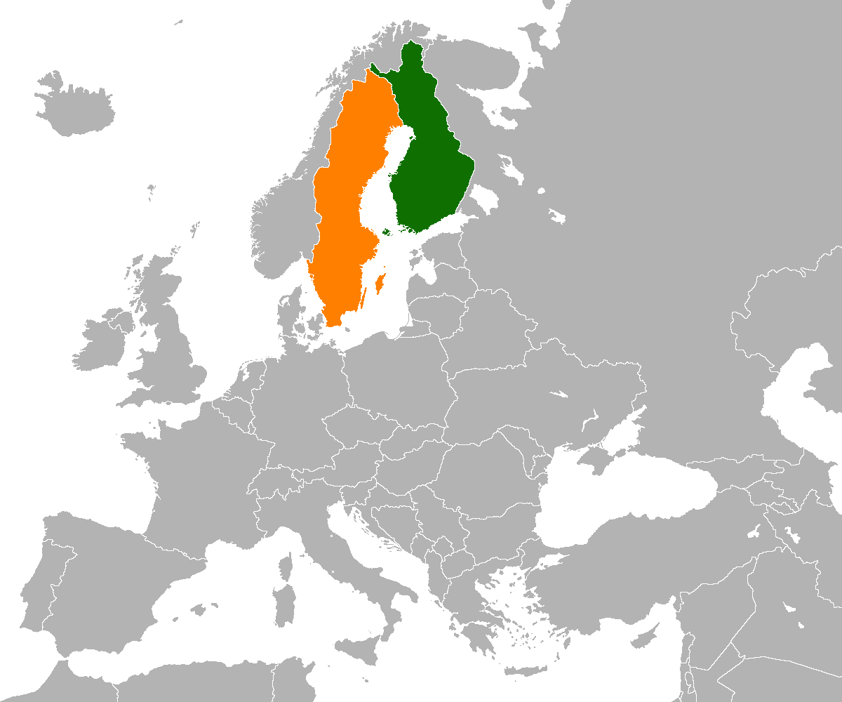
Map of the world illustrating Finland in green and Sweden in orange. Based on Image:BlankMap-World.png, and made by Pudeo.
[edit] Licensing

File history
Click on a date/time to view the file as it appeared at that time.
| Date/Time | Dimensions | User | Comment | |
|---|---|---|---|---|
| current | 10:45, 16 May 2007 | 1,425×625 (54 KB) | Pudeo | |
| 19:33, 27 February 2007 | 1,357×628 (45 KB) | Pudeo | ||
| 19:32, 27 February 2007 | 1,357×628 (45 KB) | Pudeo | ||
| 19:31, 27 February 2007 | 1,357×628 (45 KB) | Pudeo | ||
| 19:17, 27 February 2007 | 962×628 (22 KB) | Pudeo | (== Summary == Map of the world illustrating Finland in green and Sweden in orange. {{en}} Map of the world illustrating Iran in green and Germany in orange. Based on Image:BlankMap-World.png, and made by Pudeo. == Licensing == {{self) |
File links
The following pages on the English Wikipedia link to this file (pages on other projects are not listed):

