Image:Europe location SCO 2.png
From Wikipedia, the free encyclopedia
Size of this preview: 800 × 600 pixels
Full resolution (1,600 × 1,200 pixels, file size: 567 KB, MIME type: image/png)
| | This is a file from the Wikimedia Commons. The description on its description page there is shown below.
|
| Description |
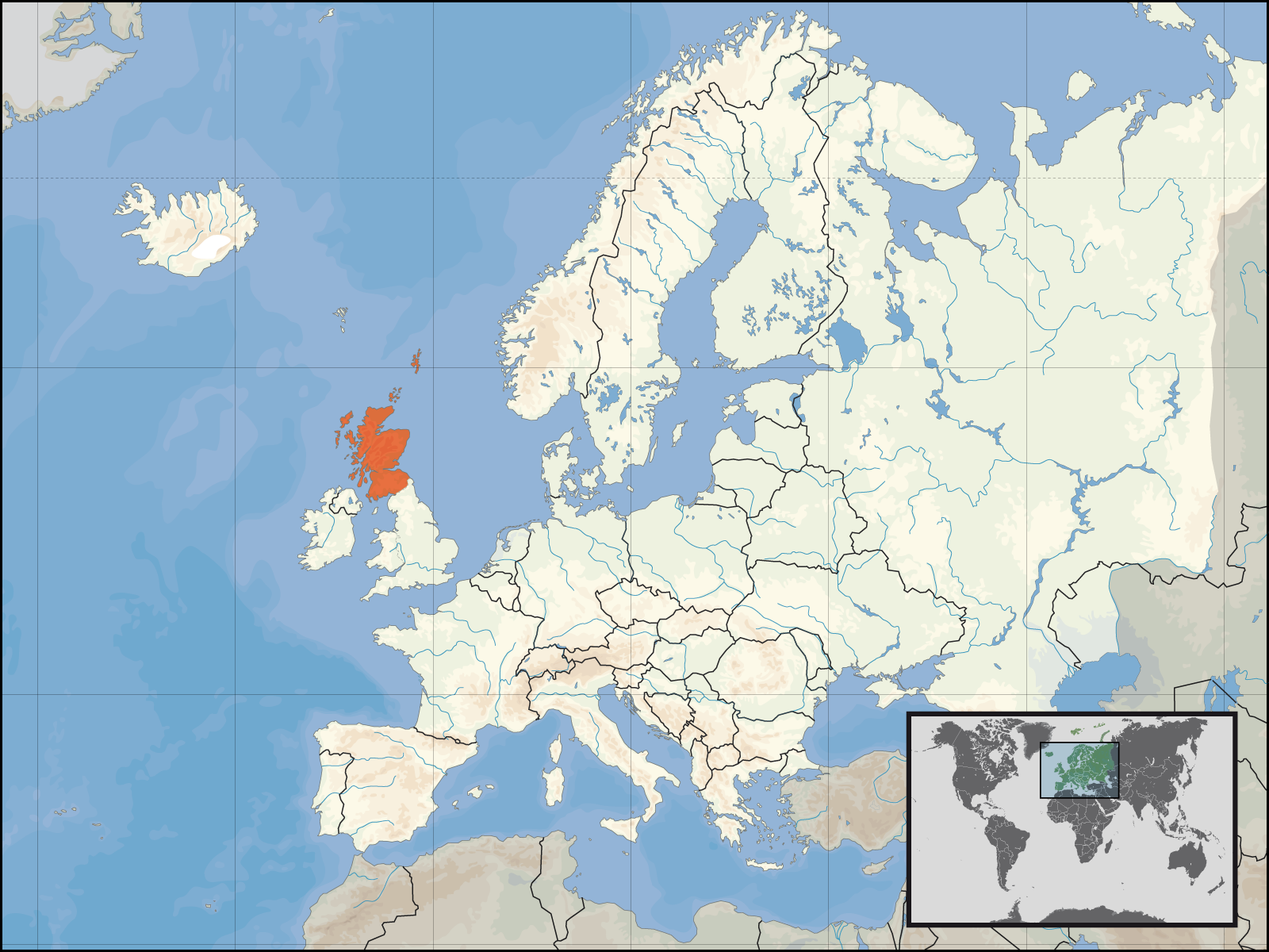
Location of Scotland in Europe am 1. Januar 2007 - alternative version. |
||||
|---|---|---|---|---|---|
| Source |
Self-made. Based upon an original work forming part of the "Europe location" map series created by David Liuzzo: Image:Europe_location_SCO.png |
||||
| Date |
15 October 2007 |
||||
| Author | |||||
| Permission (Reusing this image) |
|
||||
| Other versions |
|


File history
Click on a date/time to view the file as it appeared at that time.
| Date/Time | Dimensions | User | Comment | |
|---|---|---|---|---|
| current | 17:23, 16 October 2007 | 1,600×1,200 (567 KB) | Rab-k | ({{Information |Description= Location of Scotland in Europe am 1. Januar 2007 - alternative version. |Source=Self-made. Based upon an original work forming part of the "Europe location" map series created by David Liuzzo: [[:) |
| 16:22, 16 October 2007 | 1,600×1,200 (567 KB) | Rab-k | ({{Information |Description= Location of Scotland in Europe am 1. Januar 2007 - alternative version. |Source=Self-made. Based upon an original work forming part of the "Europe location" map series created by David Liuzzo: [[:) | |
| 09:44, 15 October 2007 | 1,600×1,200 (567 KB) | Rab-k | ({{Information |Description= Location of Scotland in Europe am 1. Januar 2007 - alternative version. |Source=Self-made. Based upon an original work forming part of the "Europe location" map series created by David Liuzzo: [[:) | |
| 03:19, 15 October 2007 | 1,600×1,200 (567 KB) | Rab-k | ({{Information |Description= Location of Scotland in Europe - alternative version. |Source=Self-made. Based upon an original work forming part of the "Europe location" map series created by David Liuzzo: [[:Image:Europe_location_) |
File links
The following pages on the English Wikipedia link to this file (pages on other projects are not listed):
- User:Silverbeak
- Category:Roman Catholic dioceses in Scotland
- User:Matt Lewis/Nationality within the British Isles (including the United Kingdom and Ireland)
- User:Matt Lewis/Nationality labelling guide for the Republic of Ireland and the United Kingdom of Great Britain and Northern Ireland (including England, Scotland, Wales and the British Islands)
- Talk:Scotland/Archive 17
- Talk:Scotland/Archive 18

