Image:EU location CYP magnified.png
From Wikipedia, the free encyclopedia
Size of this preview: 800 × 600 pixels
Full resolution (1,600 × 1,200 pixels, file size: 629 KB, MIME type: image/png)
| | This is a file from the Wikimedia Commons. The description on its description page there is shown below.
|
 It is recommended that the other file be used. Alemannisch | العربية | Български | Česky | Dansk | Deutsch | English | Ελληνικά | Esperanto | Español | Français | Galego | עברית | हिन्दी | Magyar | Bahasa Indonesia | Italiano | 日本語 | 한국어 | Lietuvių | Nederlands | Norsk (nynorsk) | Polski | Português | Română | Русский | Slovenščina | Српски / Srpski | Svenska | Türkçe | 中文(简体) | 中文(繁體) | +/- |
| Description | |
|---|---|
| Source | No source specified. Please edit this image description and provide a source. |
| Date | |
| Author |
|
| Permission (Reusing this image) |
|
| Other versions | Image:EU_location_CYP.png |

 |
This map image should be recreated using vector graphics as an SVG file. This has several advantages; see Commons:Media for cleanup for more information. If an SVG form of this image is already available, please upload it. After uploading an SVG, replace this template with template {{Vector version available|new image name.svg}} in this image. |
|
العربية | Български | Català | Česky | Dansk | Deutsch | English | Esperanto | Español | Français | 한국어 | Italiano | Magyar | Lietuvių | Nederlands | 日本語 | Polski | Português | Română | Русский | Suomi | Svenska | Türkçe | Українська | Tiếng Việt | मराठी | 中文(繁體) | 中文(简体) | +/- |
|
File history
Click on a date/time to view the file as it appeared at that time.
| Date/Time | Dimensions | User | Comment | |
|---|---|---|---|---|
| current | 04:43, 17 May 2007 | 1,600×1,200 (629 KB) | Tene | (Optimised (0)) |
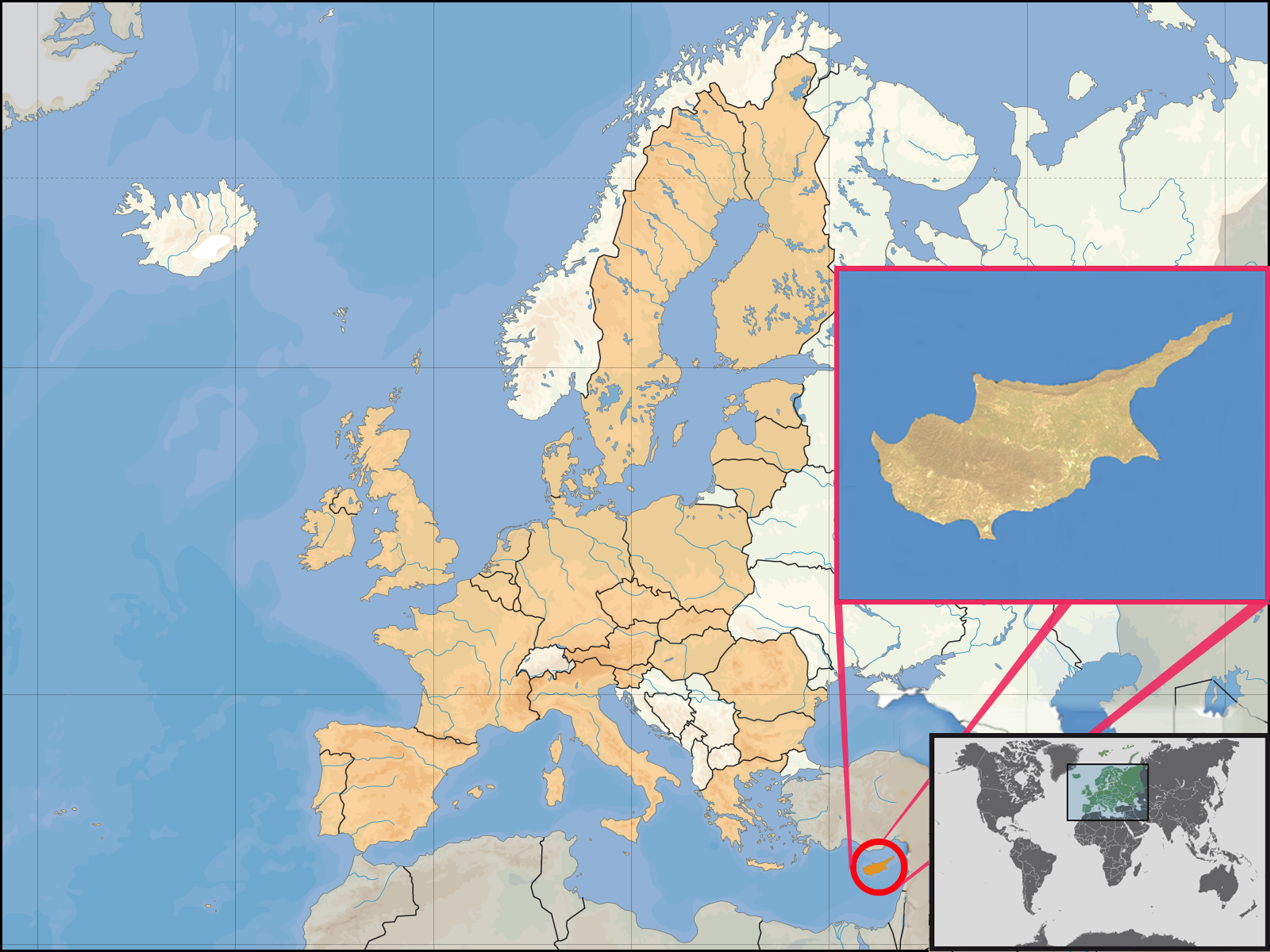
| 17:33, 16 May 2007 | 1,600×1,200 (857 KB) | Mandavi | ({{Information |Description= {{de|Lage der Republik Zypern in Europa und in der Europäischen Union am 1. Januar 2007 }} {{en|Location of Cyprus within Europe and the [[European Unio) |

