Image:Ethiopia zone region.jpg
From Wikipedia, the free encyclopedia
Size of this preview: 800 × 544 pixels
Full resolution (1,246 × 848 pixels, file size: 99 KB, MIME type: image/jpeg)
| | This is a file from the Wikimedia Commons. The description on its description page there is shown below.
|
[edit] Summary
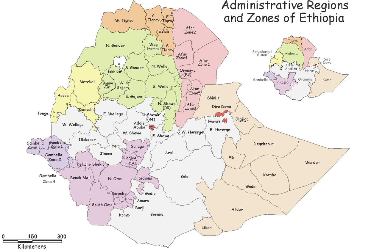
| Description |
Map of regions and zones in Ethiopia. |
|---|---|
| Source | |
| Date |
2004 |
| Author |
USAID |
| Permission (Reusing this image) |
"In return, we request only that USAID be cited as the source of any information, photos, and images copied from this site and that any photo credits or bylines be similarly credited to the photographer or author." Quote taken from Privacy |
| Other versions | none available |
[edit] Licensing
 |
The copyright holder of this work allows anyone to use it for any purpose including unrestricted redistribution, commercial use, and modification.
Note: العربية | Asturianu | Български | Česky | Dansk | Deutsch | English | Esperanto | Español | فارسی | Français | Galego | Italiano | 日本語 | 한국어 | Kurdî / كوردی | Nederlands | Polski | Português | Русский | Suomi | Svenska | Türkçe | Shqip | 中文(简体) | 中文(繁體) | 粵語 | +/- |
File history
Click on a date/time to view the file as it appeared at that time.
| Date/Time | Dimensions | User | Comment | |
|---|---|---|---|---|
| current | 01:53, 3 January 2007 | 1,246×848 (99 KB) | Classof2006smr | (Map of regions and zones in Ethiopia. Used with permission from USAID/Ethiopia.) |

