Image:ECO CDC Map.png
From Wikipedia, the free encyclopedia
No higher resolution available.
ECO_CDC_Map.png (485 × 424 pixels, file size: 18 KB, MIME type: image/png)
| | This is a file from the Wikimedia Commons. The description on its description page there is shown below.
|
[edit] Summary
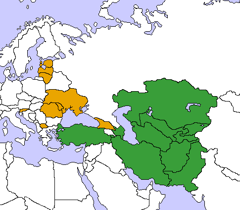
Map of the Economic Cooperation Organization and the Community of Democratic Choice. Created by me, User:Aris Katsaris by modifying Image:Turkestan.png. Aris Katsaris 06:48, 15 March 2006 (UTC)
[edit] Licensing
|

File history
Click on a date/time to view the file as it appeared at that time.
| Date/Time | Dimensions | User | Comment | |
|---|---|---|---|---|
| current | 05:56, 10 April 2006 | 485×424 (18 KB) | Aris Katsaris | (Change in land/sea borders) |
| 06:48, 15 March 2006 | 485×424 (20 KB) | Aris Katsaris | (Map of the Economic Cooperation Organization and the Community of Democratic Choice. Created by me, User:Aris Katsaris by modifying Image:Turkestan.png. ~~~~ Category:Supranational maps) |
File links
The following pages on the English Wikipedia link to this file (pages on other projects are not listed):

