Image:Drammensfjorden.jpg
From Wikipedia, the free encyclopedia
Size of this preview: 591 × 599 pixels
Full resolution (1,200 × 1,217 pixels, file size: 536 KB, MIME type: image/jpeg)
| | This is a file from the Wikimedia Commons. The description on its description page there is shown below.
|
| Description |
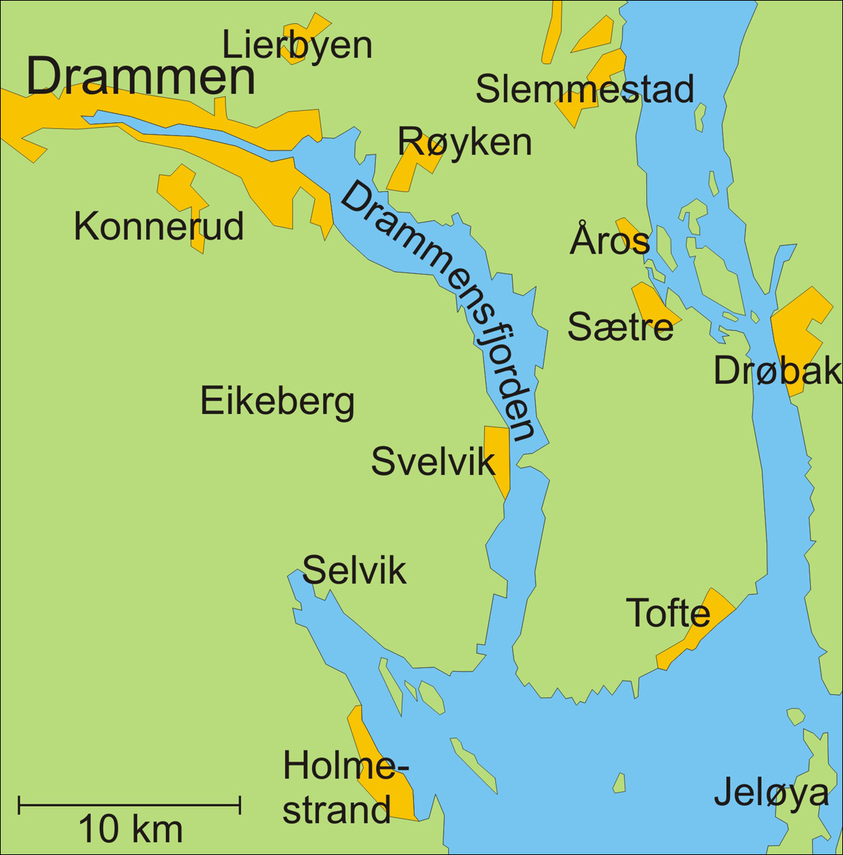
Deutsch: Kart over Drammenfjorden og omgivelser (Map of Drammensfjorden in Norway)
|
|||
|---|---|---|---|---|
| Source |
Min egen tegning - my own drawing |
|||
| Date | ||||
| Author |
Finn Bjo |
|||
| Permission (Reusing this image) |
|
|||
| Other versions | Nope |
File history
Click on a date/time to view the file as it appeared at that time.
| Date/Time | Dimensions | User | Comment | |
|---|---|---|---|---|
| current | 16:55, 19 November 2006 | 1,200×1,217 (536 KB) | Finn Bjorklid | |
| 23:18, 18 November 2006 | 1,200×1,216 (167 KB) | Finn Bjorklid | ({{Information |Description=Kart over Drammenfjorden og omgivelser (Map of Drammensfjorden in Norway) |Source=Min egen tegning - my own drawing |Date= |Author=Finn Bjo |Permission={{PD}} |other_versions=Nope }} Category:Maps of Norway) |
File links
The following pages on the English Wikipedia link to this file (pages on other projects are not listed):
Metadata
This file contains additional information, probably added from the digital camera or scanner used to create or digitize it. If the file has been modified from its original state, some details may not fully reflect the modified file.
| Orientation | Normal |
|---|---|
| Horizontal resolution | 300 dpi |
| Vertical resolution | 300 dpi |
| Software used | Adobe Photoshop CS Windows |
| File change date and time | 16:55, 19 November 2006 |
| Color space | 65535 |

