Image:Dardanelles landsat.jpg
From Wikipedia, the free encyclopedia
No higher resolution available.
Dardanelles_landsat.jpg (737 × 584 pixels, file size: 205 KB, MIME type: image/jpeg)
| | This is a file from the Wikimedia Commons. The description on its description page there is shown below.
|
[edit] Summary
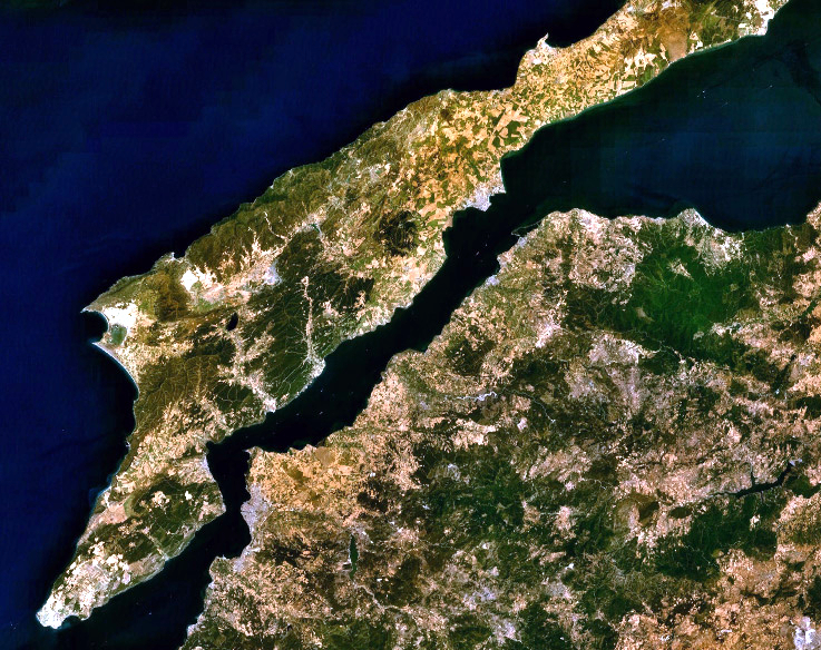
| Description |
English: Landsat 7 image of the Dardanelles and Gallipoli Peninsula, Turkey.
|
|||
|---|---|---|---|---|
| Source |
Captured and cropped from NASA World Wind. |
|||
| Date |
17 September 2006 |
|||
| Author |
NASA |
|||
| Permission (Reusing this image) |
|
File history
Click on a date/time to view the file as it appeared at that time.
| Date/Time | Dimensions | User | Comment | |
|---|---|---|---|---|
| current | 12:53, 17 September 2006 | 737×584 (205 KB) | ChrisO | (NASA Landsat 7 image of the Dardanelles and Gallipoli Peninsula, Turkey. Category:Satellite images of peninsulas) |
File links
The following pages on the English Wikipedia link to this file (pages on other projects are not listed):

