Image:CTMap-doton-Lebanon.png
From Wikipedia, the free encyclopedia
No higher resolution available.
CTMap-doton-Lebanon.png (450 × 336 pixels, file size: 38 KB, MIME type: image/png)
| | This is a file from the Wikimedia Commons. The description on its description page there is shown below.
|
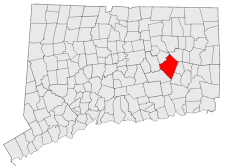
Locator maps U.S. cities derived from state maps by different users from en.wikipedia.
the filename has sometimes been adapted to the general syntax

File history
Click on a date/time to view the file as it appeared at that time.
| Date/Time | Dimensions | User | Comment | |
|---|---|---|---|---|
| current | 23:27, 22 November 2006 | 450×336 (38 KB) | PhilFree | (Locator maps U.S. cities derived from state maps by different users from en.wikipedia. <small>the filename has sometimes been adapted to the general syntax</small> {{GFDL}} Category:Location maps of cities in Connecticut) |
File links
The following pages on the English Wikipedia link to this file (pages on other projects are not listed):

