Image:CTA Brown Line.png
From Wikipedia, the free encyclopedia
Size of this preview: 428 × 599 pixels
Full resolution (750 × 1,050 pixels, file size: 82 KB, MIME type: image/png)
| | This is a file from the Wikimedia Commons. The description on its description page there is shown below.
|
[edit] Summary
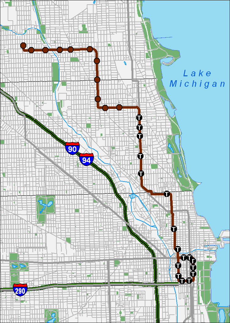
| Description |
A map showing the CTA Brown Line. This is version 1.0, made using ArcGIS 9.2 and data from the TIGER/Line files and the City of Chicago. |
|---|---|
| Source |
Own work |
| Date |
18 Jan 2007 |
| Author |
Shorelander |
| Permission (Reusing this image) |
see below |
[edit] Licensing
|

File history
Click on a date/time to view the file as it appeared at that time.
| Date/Time | Dimensions | User | Comment | |
|---|---|---|---|---|
| current | 00:29, 19 January 2007 | 750×1,050 (82 KB) | Shorelander | ({{Information |Description=A map showing the CTA Brown Line. This is version 1.0, made using ArcGIS 9.2 and data from the TIGER/Line files and the City of Chicago. |Source=Own work |Date=18 Jan 2007 |Author=Shorelander |Permission= |other_versions= }}) |
File links
The following pages on the English Wikipedia link to this file (pages on other projects are not listed):

