Image:Costa Rica map shaded relief.png
From Wikipedia, the free encyclopedia
Size of this preview: 480 × 599 pixels
Full resolution (982 × 1,226 pixels, file size: 475 KB, MIME type: image/png)
| | This is a file from the Wikimedia Commons. The description on its description page there is shown below.
|
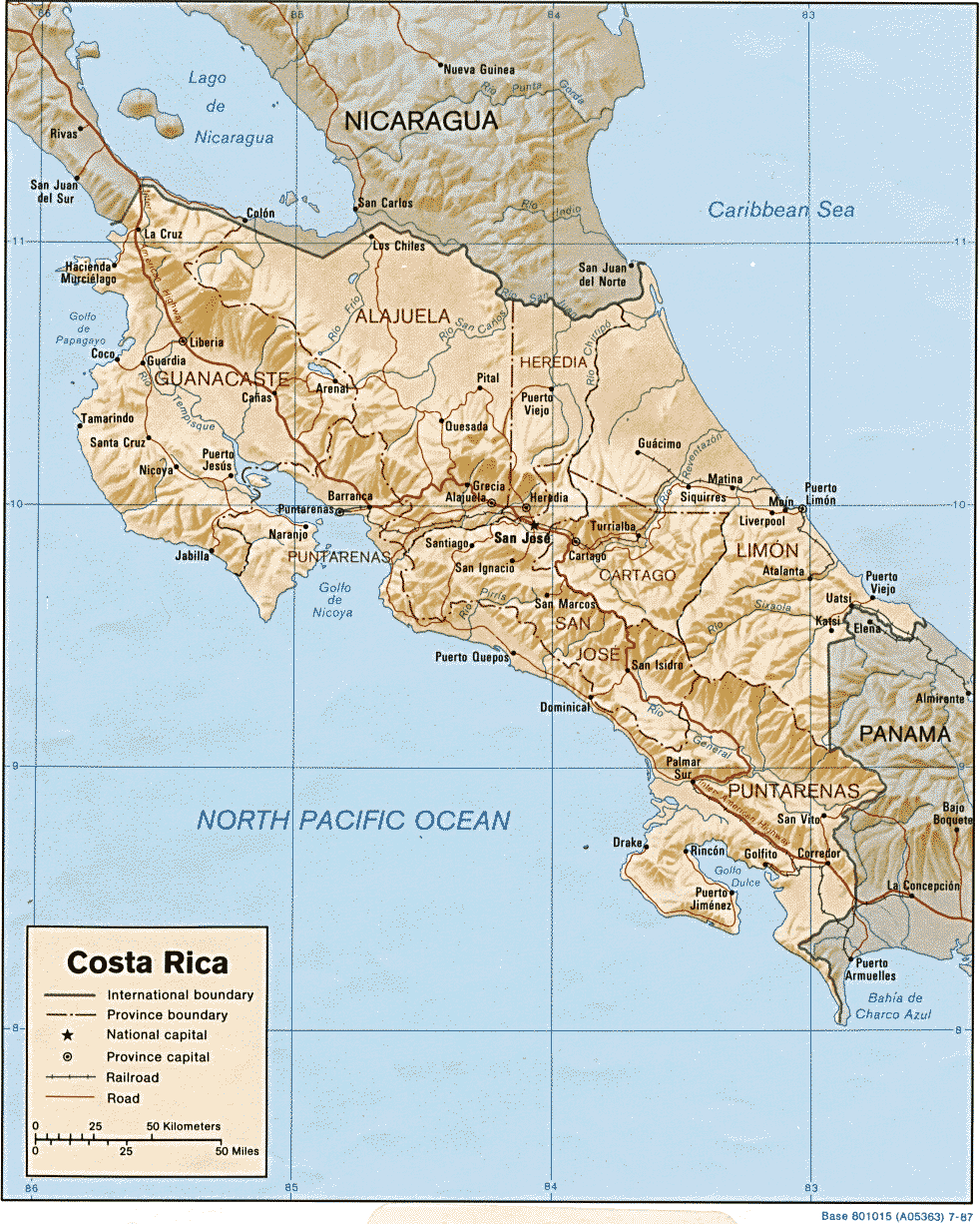
Shaded relief map of Costa Rica. From the 1987 World Factbook.
| This image is in the public domain because it contains materials that originally came from the United States Central Intelligence Agency's World Factbook.
Deutsch | English | Español | Français | 日本語 | Nederlands | 한국어 | Português | தமிழ் | Magyar | +/- |
 |
File history
Click on a date/time to view the file as it appeared at that time.
| Date/Time | Dimensions | User | Comment | |
|---|---|---|---|---|
| current | 22:09, 7 December 2006 | 982×1,226 (475 KB) | Electionworld | (Shaded relief map of Costa Rica. From the 1987 World Factbook. {{PD-USGov-CIA-WF}} ) |
File links
The following pages on the English Wikipedia link to this file (pages on other projects are not listed):

