Image:Chesapeake Crater location.png
From Wikipedia, the free encyclopedia
No higher resolution available.
Chesapeake_Crater_location.png (664 × 498 pixels, file size: 147 KB, MIME type: image/png)
| | This is a file from the Wikimedia Commons. The description on its description page there is shown below.
|
[edit] Description
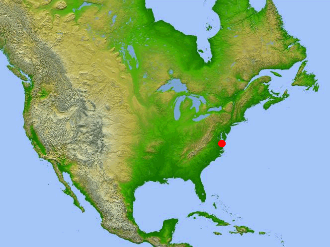
Location of the Chesapeake Bay impact crater.
[edit] Source
Adapted from North America topography map taken from NASA website. [1]
[edit] License

File history
Click on a date/time to view the file as it appeared at that time.
| Date/Time | Dimensions | User | Comment | |
|---|---|---|---|---|
| current | 21:52, 9 November 2005 | 664×498 (147 KB) | Tom | (==Description== Location of the Chesapeake Bay impact crater. ==Source== Adapted from North America topography map taken from NASA website. [http://photojournal.jpl.nasa.gov/jpegMod/PIA03377_modest.jpg] ==License== {{G) |
File links
The following pages on the English Wikipedia link to this file (pages on other projects are not listed):


![[1]](http://photojournal.jpl.nasa.gov/jpegMod/PIA03377_modest.jpg)