Image:Centretown West locator map.png
From Wikipedia, the free encyclopedia
No higher resolution available.
Centretown_West_locator_map.png (357 × 297 pixels, file size: 7 KB, MIME type: image/png)
| | This is a file from the Wikimedia Commons. The description on its description page there is shown below.
|
- Author: en:User:Earl Andrew
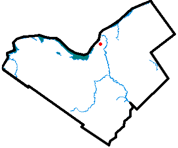
- Description: Locator map of Blossom Park, a neighbourhood of Downtown Ottawa, Ontario.
- Source: Uploaded as en:Image:Centretownwestottawa.PNG on July 20, 2005
| Note: This tag is deprecated, please replace this template with {{PD-user-w}} | |
|
In case this is not legally possible: Earl Andrew grants anyone the right to use this work for any purpose, without any conditions, unless such conditions are required by law. |
|
File history
Click on a date/time to view the file as it appeared at that time.
| Date/Time | Dimensions | User | Comment | |
|---|---|---|---|---|
| current | 22:57, 5 April 2006 | 357×297 (7 KB) | Jkelly | (*Author: en:User:Earl Andrew *Description: Locator map of Blossom Park, a neighbourhood of Downtown Ottawa, Ontario. *Source: Uploaded as en:Image:Centretownwestottawa.PNG on July 20 2005 {{PD-user-wikimedia|Earl Andrew|en}} [[Cat) |
File links
The following pages on the English Wikipedia link to this file (pages on other projects are not listed):

