Image:CapeSableTopo.jpg
From Wikipedia, the free encyclopedia
No higher resolution available.
CapeSableTopo.jpg (600 × 400 pixels, file size: 88 KB, MIME type: image/jpeg)
| | This is a file from the Wikimedia Commons. The description on its description page there is shown below.
|
Transwiki approved by: w:en:User:Dmcdevit
This image was copied from wikipedia:en. The original description was:
Contents |
[edit] Summary
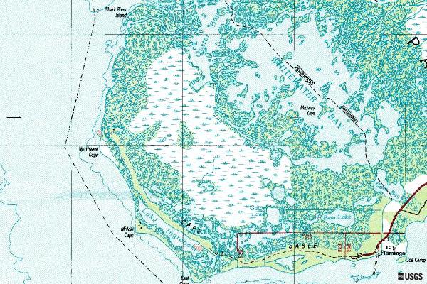
Downloaded from [1] Image of USGS topographical map covering Cape Sable in Florida.
[edit] Licensing
| This image is in the public domain because it contains materials that originally came from the United States Geological Survey, an agency of the United States Department of Interior. For more information, see the official USGS copyright policy |
|
[edit] File history
| date/time | username | resolution | size | edit summary |
|---|---|---|---|---|
| 12:52, 2 March 2006 | w:en:User:Dalbury | 600×400 | 88 KB | Downloaded from [http://terraserver.microsoft.com/usgsentry.aspx?T=2&S=16&Z=17&X=38&Y=217&W=1] Image of USGS topographical map covering Cape Sable in Florida. |
[edit] Image description page history
| link | date/time | username | edit summary |
|---|---|---|---|
| http://en.wikipedia.org/w/index.php?title=Image:CapeSableTopo.jpg&redirect=no&oldid=158190344 | 03:42, 16 September 2007 | w:en:User:Dmcdevit | |
| http://en.wikipedia.org/w/index.php?title=Image:CapeSableTopo.jpg&redirect=no&oldid=158190344 | 03:19, 16 September 2007 | w:en:User:Dmcdevit | |
| http://en.wikipedia.org/w/index.php?title=Image:CapeSableTopo.jpg&redirect=no&oldid=41895088 | 12:53, 2 March 2006 | w:en:User:Dalbury | |
| http://en.wikipedia.org/w/index.php?title=Image:CapeSableTopo.jpg&redirect=no&oldid=41895005 | 12:52, 2 March 2006 | w:en:User:Dalbury | (Downloaded from [http://terraserver.microsoft.com/usgsentry.aspx?T=2&S=16&Z=17&X=38&Y=217&W=1] Image of USGS topographical map covering Cape Sable in Florida.) |
File history
Click on a date/time to view the file as it appeared at that time.
| Date/Time | Dimensions | User | Comment | |
|---|---|---|---|---|
| current | 04:09, 16 September 2007 | 600×400 (88 KB) | BetacommandBot | (Transwiki approved by: w:en:User:Dmcdevit This image was copied from wikipedia:en. The original description was: == Summary == Downloaded from [http://terraserver.microsoft.com/usgsentry.aspx?T=2&S=16&Z=17&X=38&Y=217&W=1] Image of USGS topographical) |
File links
The following pages on the English Wikipedia link to this file (pages on other projects are not listed):

