Image:Canada provinces english.png
From Wikipedia, the free encyclopedia
Size of this preview: 694 × 600 pixels
Full resolution (1,000 × 864 pixels, file size: 41 KB, MIME type: image/png)
| | This is a file from the Wikimedia Commons. The description on its description page there is shown below.
|
[edit] Summary
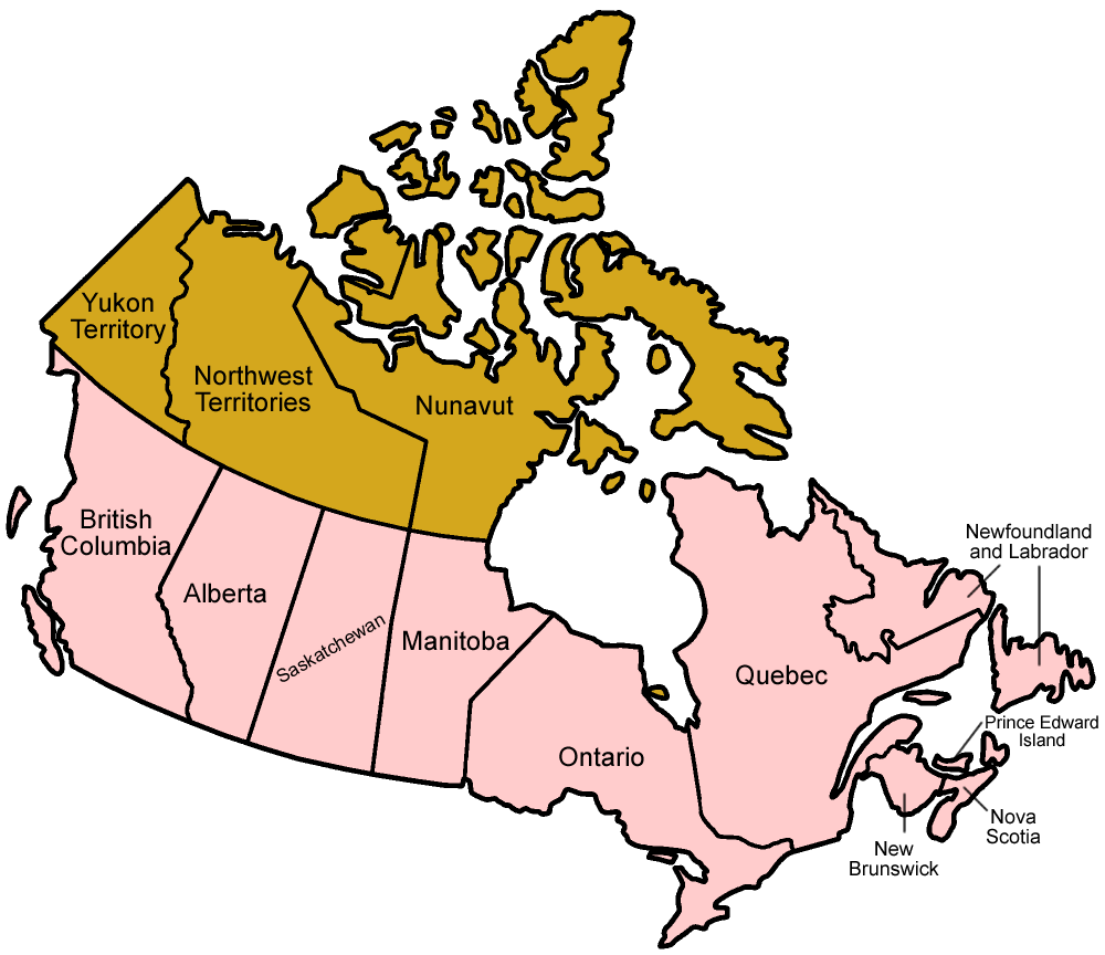
Map of the provinces of Canada in English. No, it's not nearly as good as the existing stuff here, but I didn't want any gaps in my suite of maps, so here it is. Maybe someone will find it useful!
Made by User:Golbez.
[edit] Licensing
|

File history
Click on a date/time to view the file as it appeared at that time.
| Date/Time | Dimensions | User | Comment | |
|---|---|---|---|---|
| current | 02:25, 18 February 2006 | 1,000×864 (41 KB) | Golbez | (better version) |
| 02:36, 1 February 2006 | 1,000×864 (57 KB) | Golbez | (mixed MB and AB) | |
| 22:58, 1 January 2006 | 1,000×864 (41 KB) | Golbez | (Map of the provinces of Canada in English. No, it's not nearly as good as the existing stuff here, but I didn't want any gaps in my suite of maps, so here it is. Maybe someone will find it useful! Made by User:Golbez. [[Category) |
File links
No pages on the English Wikipedia link to this file. (Pages on other projects are not counted.)

