Image:Canada provinces 1895-1898.png
From Wikipedia, the free encyclopedia
Size of this preview: 694 × 600 pixels
Full resolution (1,000 × 864 pixels, file size: 46 KB, MIME type: image/png)
| | This is a file from the Wikimedia Commons. The description on its description page there is shown below.
|
[edit] Summary
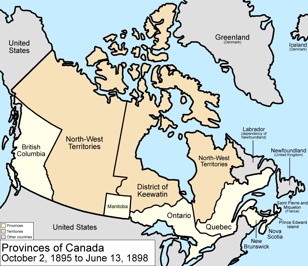
Map of the provinces and territories of Canada as they were from 1895 to 1898. In 1895, the District of Keewatin was enlarged. On June 13 1898, Yukon Territory is formed mostly from the District of Yukon in the North-West Territories, and Quebec is enlarged from land from the North-West Territories.
Made by User:Golbez.
[edit] Licensing
|

File history
Click on a date/time to view the file as it appeared at that time.
| Date/Time | Dimensions | User | Comment | |
|---|---|---|---|---|
| current | 09:59, 7 August 2006 | 1,000×864 (46 KB) | Golbez | (with legend) |
| 07:31, 28 March 2006 | 1,000×864 (45 KB) | Golbez | (fix wrong caption) | |
| 02:24, 18 February 2006 | 1,000×864 (44 KB) | Golbez | (Better version) | |
| 23:49, 13 February 2006 | 1,000×864 (40 KB) | Golbez | (better colors) | |
| 09:28, 13 February 2006 | 1,000×864 (40 KB) | Golbez | (Map of the provinces and territories of Canada as they were from 1895 to 1898. In 1895, the District of Keewatin was enlarged. On June 13 1898, Yukon Territory is formed mostly from the District of Yukon in the North-West Territories, and Quebec is enlarg) |
File links
The following pages on the English Wikipedia link to this file (pages on other projects are not listed):

