Image:Cambridgeshire outline map with UK.png
From Wikipedia, the free encyclopedia
Size of this preview: 504 × 600 pixels
Full resolution (600 × 714 pixels, file size: 342 KB, MIME type: image/png)
| | This is a file from the Wikimedia Commons. The description on its description page there is shown below.
|
[edit] Summary
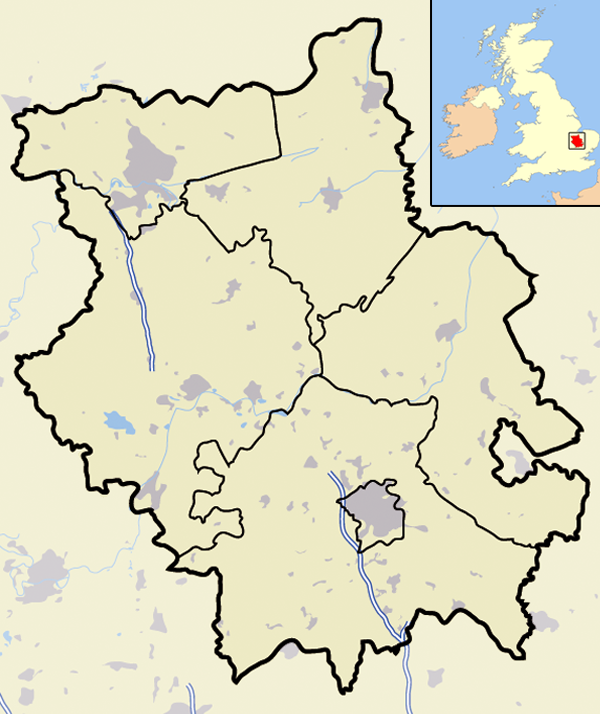
| Description |
Map of the County of Cambridgeshire, England, United Kingdom |
|---|---|
| Source |
self-made |
| Date |
November 2007 |
| Author | |
| Permission (Reusing this image) |
See below |
[edit] Licensing
| I, the copyright holder of this work, hereby release it into the public domain. This applies worldwide. In case this is not legally possible: Afrikaans | Alemannisch | Aragonés | العربية | Asturianu | Български | Català | Česky | Cymraeg | Dansk | Deutsch | Eʋegbe | Ελληνικά | English | Español | Esperanto | Euskara | Estremeñu | فارسی | Français | Galego | 한국어 | हिन्दी | Hrvatski | Ido | Bahasa Indonesia | Íslenska | Italiano | עברית | Kurdî / كوردی | Latina | Lietuvių | Latviešu | Magyar | Македонски | Bahasa Melayu | Nederlands | Norsk (bokmål) | Norsk (nynorsk) | 日本語 | Polski | Português | Ripoarisch | Română | Русский | Shqip | Slovenčina | Slovenščina | Српски / Srpski | Svenska | ไทย | Tagalog | Türkçe | Українська | Tiếng Việt | Walon | 中文(简体) | 中文(繁體) | zh-yue-hant | +/- |
File history
Click on a date/time to view the file as it appeared at that time.
| Date/Time | Dimensions | User | Comment | |
|---|---|---|---|---|
| current | 00:01, 23 November 2007 | 600×714 (342 KB) | Jhamez84 | ({{Information |Description=Map of the County of Cambridgeshire, England, United Kingdom |Source=self-made |Date=November 2007 |Author= Jhamez84 |Permission=See below |other_versions= }} ) |
File links
- St Ives, Cambridgeshire
- Littleport, Cambridgeshire
- St Neots
- Wisbech
- Coton, Cambridgeshire
- Burwell, Cambridgeshire
- Huntingdon
- Ely
- Gamlingay
- Godmanchester
- Eaton Ford
- Eaton Socon
- Cambourne
- Soham
- Duxford
- Ramsey, Cambridgeshire
- Whittlesey
- March, Cambridgeshire
- Chatteris
- Caldecote, Cambridgeshire
- Abington, Cambridgeshire
- Fulbourn
- Wicken, Cambridgeshire
- Sawston
- Great Shelford
- Little Shelford
- Melbourn
- Sutton-in-the-Isle
- Swavesey
- Linton, Cambridgeshire
- Stilton
- Caxton, Cambridgeshire
- Abington Pigotts
- Milton, Cambridgeshire
- Waterbeach
- Landbeach
- Bar Hill
- Boxworth
- Cottenham
- Balsham
- Madingley
- Alconbury
- RAF Alconbury
- Hardwick, Cambridgeshire
- Prickwillow
- Houghton, Cambridgeshire
- Hilton, Cambridgeshire
- RAF Molesworth
- Alconbury Weston
- Brampton, Cambridgeshire
- Somersham
- Papworth Everard
- Ashley, Cambridgeshire
- Babraham
- Bassingbourn cum Kneesworth
- Queen Adelaide, Cambridgeshire
- Stretham
- Cherry Hinton
- Histon and Impington
- Horningsea
- Stow cum Quy
- Oakington
- Croxton, Cambridgeshire
- Dry Drayton
- Chittering, Cambridgeshire
- Aldreth
- RAF Bassingbourn
- Whittlesford
- Trumpington, Cambridgeshire
- Newton, Cambridgeshire
- RAF Kimbolton
- RAF Glatton
- RAF Kings Cliffe
- RAF Steeple Morden
- RAF Bottisham
- RAF Fowlmere
- Shingay cum Wendy
- King's Hedges
- Template talk:Infobox UK place/maps
- Harston
- Brampton Park
- Brandon Bank
- Boxworth End
- Arbury
- Badgeney
- Barway
- Begdale
- Bevill's Leam
- Old Hurst
- Template:Location map United Kingdom Cambridgeshire
- Castle Camps (village)
- Swingbrow
- Ramsey Mereside
- Bourn

