Image:Cambridge NCR51.png
From Wikipedia, the free encyclopedia
Size of this preview: 600 × 600 pixels
Full resolution (800 × 800 pixels, file size: 721 KB, MIME type: image/png)
| | This is a file from the Wikimedia Commons. The description on its description page there is shown below.
|
[edit] Summary
| Description | |
|---|---|
| Source |
http://www.openstreetmap.org/?lat=52.2105&lon=0.1192&zoom=14&layers=00BFF |
| Date |
12:47, 31 May 2008 (UTC) |
| Author |
OpenStreetMap contributors |
| Permission (Reusing this image) |
see below |
Creative Commons CC-BY-SA 2.0
| This file is licensed under Creative Commons Attribution ShareAlike 2.0 License (cc-by-sa-2.0). In short: you are free to share and make derivative works of the file under the conditions that you appropriately attribute it, and that you distribute it under this or a similar cc-by-sa license. |
File history
Click on a date/time to view the file as it appeared at that time.
| Date/Time | Dimensions | User | Comment | |
|---|---|---|---|---|
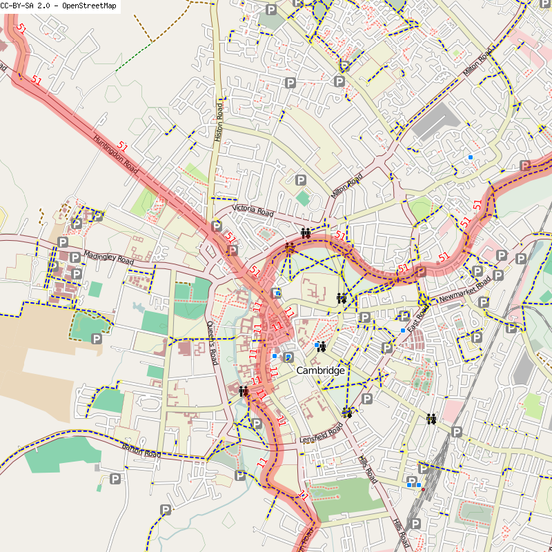
| current | 12:45, 31 May 2008 | 800×800 (721 KB) | Ojw | ({{Information |Description={{en|1=Map of NCN cycleways through Cambridge}} |Source=http://www.openstreetmap.org/?lat=52.2105&lon=0.1192&zoom=14&layers=00BFF |Author=OpenStreetMap contributors |Date= |Permission= |other_versions= }} Creative Common) |
File links
The following pages on the English Wikipedia link to this file (pages on other projects are not listed):

