Image:California State Route 37 near Sears Point.png
From Wikipedia, the free encyclopedia
No higher resolution available.
California_State_Route_37_near_Sears_Point.png (640 × 359 pixels, file size: 345 KB, MIME type: image/png)
| | This is a file from the Wikimedia Commons. The description on its description page there is shown below.
|
[edit] Summary
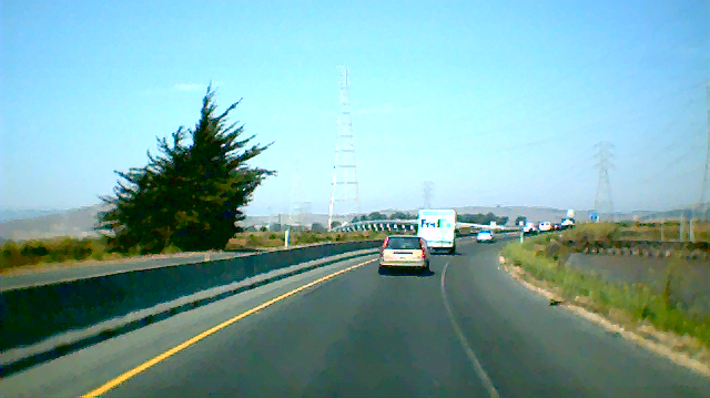
| Description |
Westbound California State Route 37 through the wetlands of the San Pablo Bay. This stretch of road was dubbed "blood alley" for its high rate of fatal accidents before the barrier was erected. |
|---|---|
| Source |
Self Created |
| Date |
August 18, 2006 |
| Author |
Leon Bacud |
| Permission (Reusing this image) |
This image is subject to the following licenses. |
[edit] Licensing
|

File history
Click on a date/time to view the file as it appeared at that time.
| Date/Time | Dimensions | User | Comment | |
|---|---|---|---|---|
| current | 06:00, 19 August 2006 | 640×359 (345 KB) | WikiLeon | ({{Information |Description= Westbound w:California State Route 37 through the wetlands of the w:San Pablo Bay. This stretch of road was dubbed "blood alley" for its high rate of fatal accidents before the barrier was erected. |Source= Self Creat) |
File links
The following pages on the English Wikipedia link to this file (pages on other projects are not listed):

