Image:Buffalo New York aerial view.jpg
From Wikipedia, the free encyclopedia
Size of this preview: 800 × 562 pixels
Full resolution (1,500 × 1,053 pixels, file size: 564 KB, MIME type: image/jpeg)
| | This is a file from the Wikimedia Commons. The description on its description page there is shown below.
|
| Description |
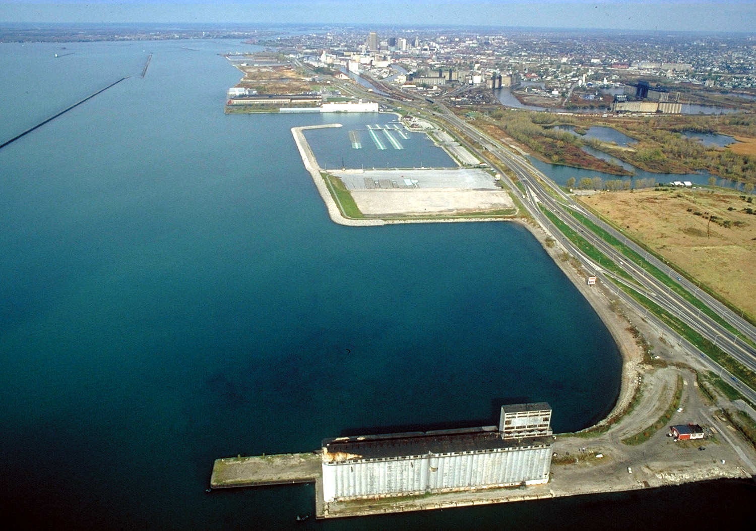
English: Aerial view of Buffalo, New York, USA, on the lower end of Lake Erie. The view is north along the shoreline toward the Niagara River. New York State Route 5, the Buffalo Skyway, runs north–south along the harbor.
|
|||
|---|---|---|---|---|
| Source |
U.S. Army Corps of Engineers Digital Visual Library |
|||
| Date |
October 28, 1992 |
|||
| Author |
Ken Winters, U.S. Army Corps of Engineers |
|||
| Permission (Reusing this image) |
|
| Camera location | This and other geocoded Commons images: | (Info) |
|---|
File history
Click on a date/time to view the file as it appeared at that time.
| Date/Time | Dimensions | User | Comment | |
|---|---|---|---|---|
| current | 16:06, 31 March 2007 | 1,500×1,053 (564 KB) | DanMS | ({{Information | Description = {{en|Aerial view of Buffalo, New York, USA, on the lower end of Lake Erie. The view is north along the shoreline toward the Niagara River. New York State Route 5, the Buffalo Skyway, runs north–south along the harbor.}} ) |
File links
The following pages on the English Wikipedia link to this file (pages on other projects are not listed):

