Image:Buache1753Map.jpg
From Wikipedia, the free encyclopedia
Size of this preview: 800 × 547 pixels
Full resolution (2,811 × 1,923 pixels, file size: 1,001 KB, MIME type: image/jpeg)
| | This is a file from the Wikimedia Commons. The description on its description page there is shown below.
|
[edit] Summary
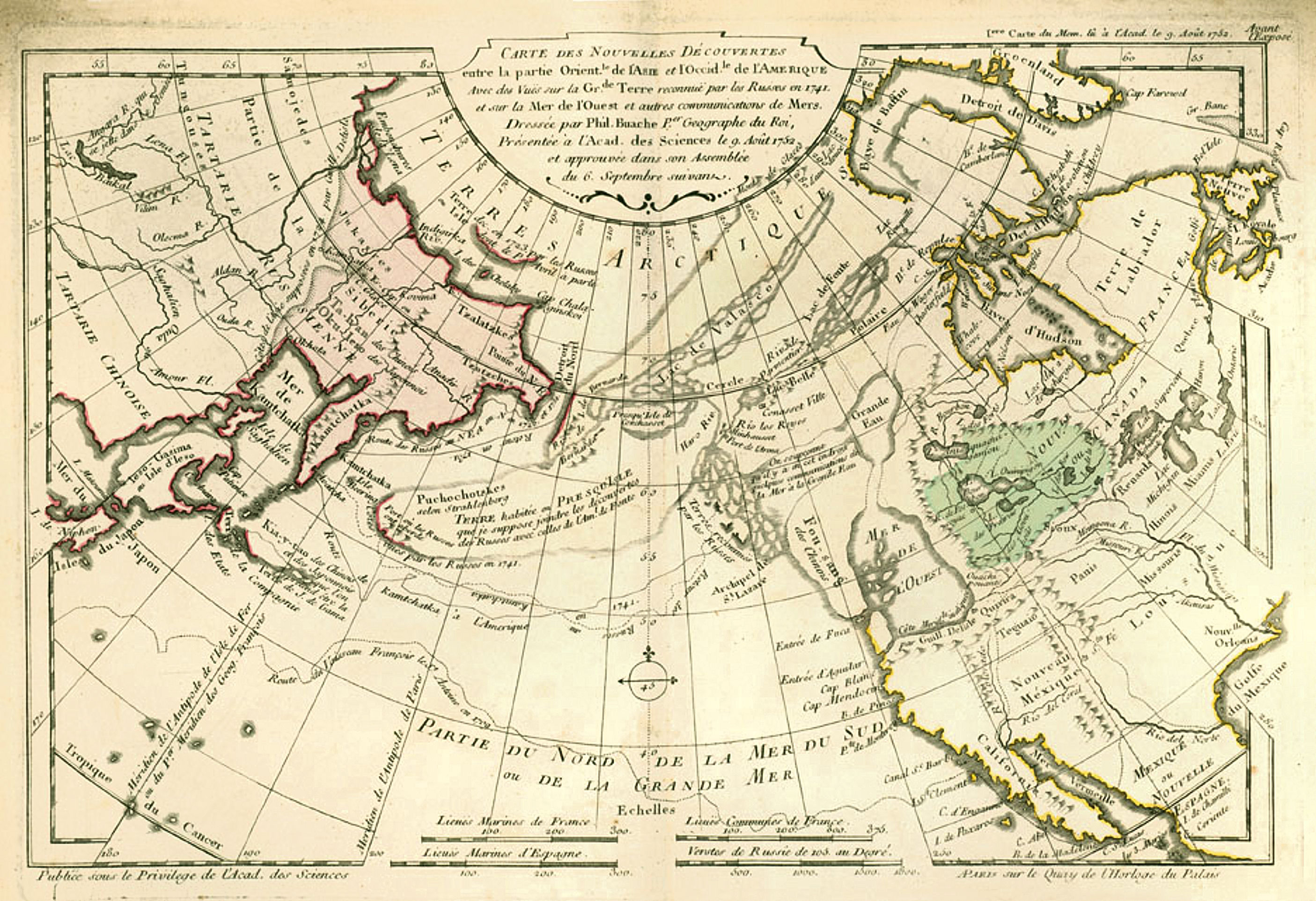
| Description |
1753 world map by the French cartographer Philippe Buache |
|---|---|
| Source | |
| Date |
1753 |
| Author |
Philippe Buache |
| Permission (Reusing this image) |
see below |
[edit] Licensing
This photographic reproduction is therefore also in the public domain. العربية | Česky | Deutsch | English | Ελληνικά | Español | فارسی | Français | עברית | Bahasa Indonesia | Italiano | 日本語 | 한국어 | Magyar | Nederlands | Polski | Português | Română | Русский | Slovenščina | Српски / Srpski | Basa Sunda | Türkçe | Українська | 中文(繁體) | 中文(简体) | +/- |
File history
Click on a date/time to view the file as it appeared at that time.
| Date/Time | Dimensions | User | Comment | |
|---|---|---|---|---|
| current | 20:06, 22 November 2007 | 2,811×1,923 (1,001 KB) | PHGCOM | ({{Information |Description=1753 world map by the French cartographer Philippe Buache |Source=[http://www.common-place.org/vol-05/no-04/sayre/index.shtml] |Date=1753 |Author=Philippe Buache |Permission= |other_versions= }} Category:World maps ) |

