Image:Broken-bow-spillway.jpg
From Wikipedia, the free encyclopedia
Size of this preview: 749 × 600 pixels
Full resolution (1,500 × 1,201 pixels, file size: 712 KB, MIME type: image/jpeg)
| | This is a file from the Wikimedia Commons. The description on its description page there is shown below.
|
| Description |
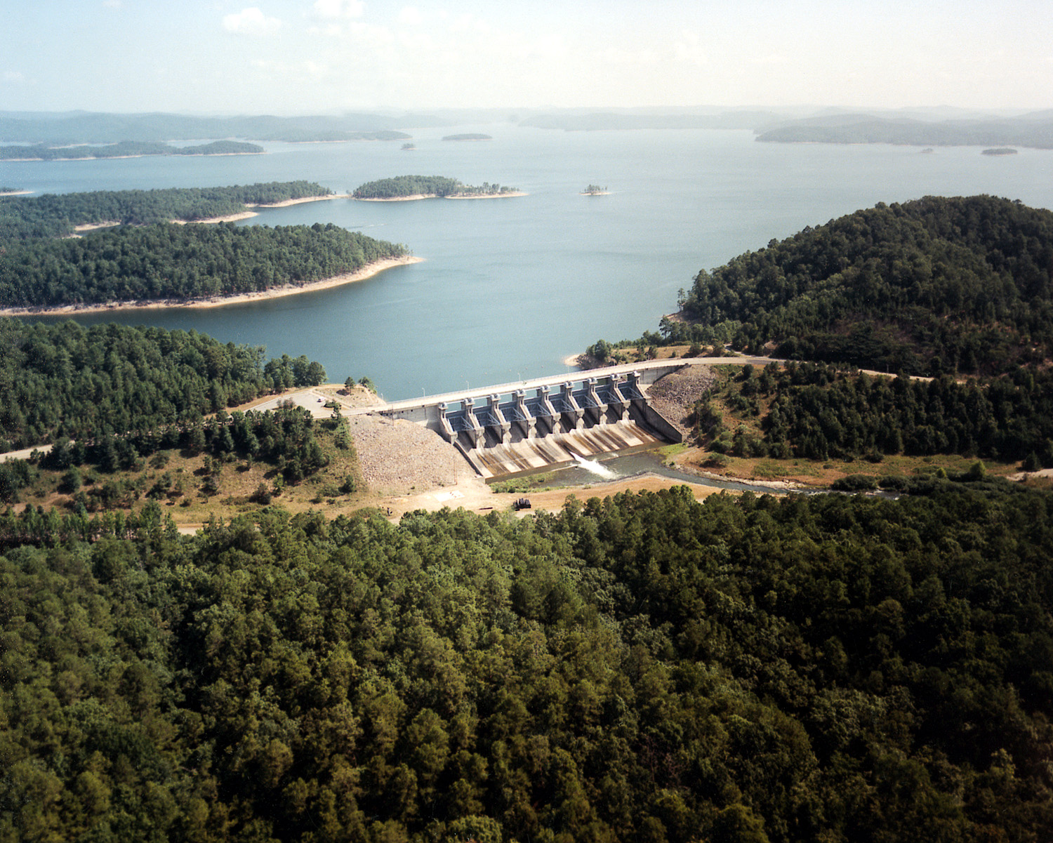
English: Aerial view of the spillway at Broken Bow Dam on Broken Bow Reservoir on the Mountain Fork River in McCurtain County, Oklahoma, USA. This photograph shows only the spillway. The main dam and hydroelectric generation plant are located about 1.5 miles (2.5 km) to the east of this spillway. The U.S. Army Corps of Engineers constructed the dams in 1968 for flood control, water supply, and hydroelectric power generation.
Coordinates: 34°9′25.61″N, 94°42′14.72″W |
|||
|---|---|---|---|---|
| Source |
U.S. Army Corps of Engineers Digital Visual Library |
|||
| Date |
1999-03-03 |
|||
| Author |
U.S. Army Corps of Engineers, photographer not specified or unknown |
|||
| Permission (Reusing this image) |
|
File history
Click on a date/time to view the file as it appeared at that time.
| Date/Time | Dimensions | User | Comment | |
|---|---|---|---|---|
| current | 04:40, 15 May 2007 | 1,500×1,201 (712 KB) | DanMS | ({{Information | Description = {{en|Aerial view of the spillway at Broken Bow Dam on Broken Bow Reservoir on the Mountain Fork River in McCurtain County, Oklahoma, USA. This photograph shows only the spillway. The main dam and hydroelectric generation p) |
File links
The following pages on the English Wikipedia link to this file (pages on other projects are not listed):

