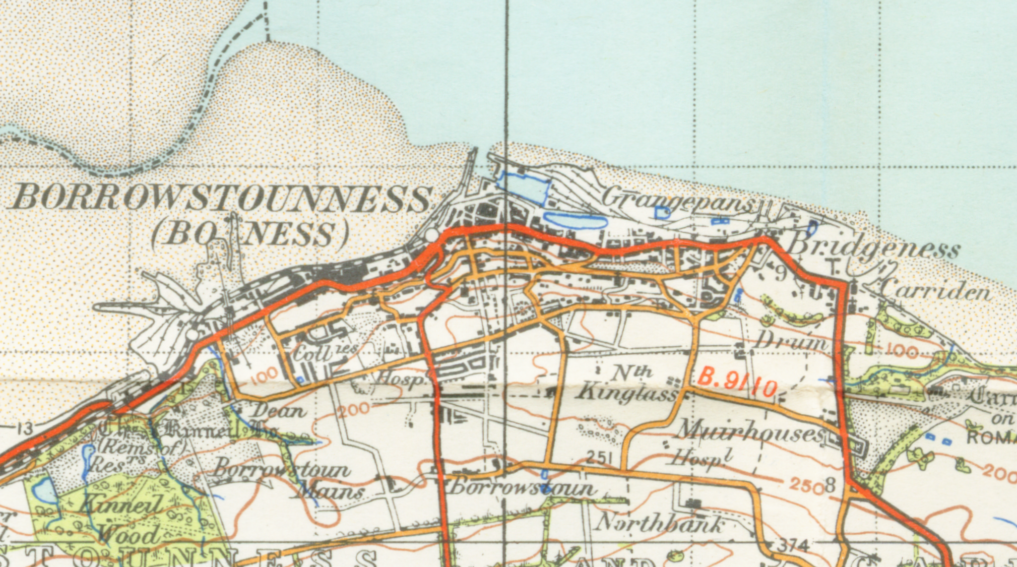
Image:Borrowstounnessmap.png
From Wikipedia, the free encyclopedia
Size of this preview: 800 × 446 pixels
Full resolution (2,018 × 1,125 pixels, file size: 4.86 MB, MIME type: image/png)
| | This is a file from the Wikimedia Commons. The description on its description page there is shown below.
|
File history
Click on a date/time to view the file as it appeared at that time.
| Date/Time | Dimensions | User | Comment | |
|---|---|---|---|---|
| current | 21:15, 29 April 2007 | 2,018×1,125 (4.86 MB) | Geni | ({{oldOS}} {{Information |Description=map of Borrowstounness 1 inch to the mile scale scanned at 600 DPI |Source=OS map stirling and Dunfermline sheet 67 1945 |Date=1945 |Author=OS |Permission=none needed |other_versions= }} Category:Maps of Falkirk ) |
File links
The following pages on the English Wikipedia link to this file (pages on other projects are not listed):

