Image:Boltysh crater location map.png
From Wikipedia, the free encyclopedia
No higher resolution available.
Boltysh_crater_location_map.png (632 × 322 pixels, file size: 16 KB, MIME type: image/png)
| | This is a file from the Wikimedia Commons. The description on its description page there is shown below.
|
| Description |
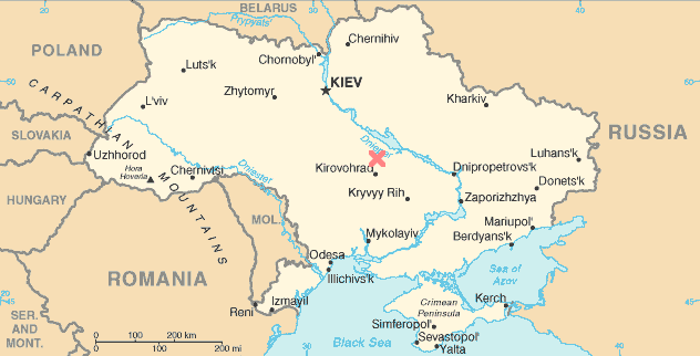
English: Location of the Boltysh Crater in Ukraine. Adapted from public domain map en::Image:Up-map.png.
|
|---|---|
| Source |
Transferred from en.wikipedia |
| Date |
2005-04-24 (original upload date) |
| Author |
Original uploader was Worldtraveller at en.wikipedia |
| Permission (Reusing this image) |
This image is in the public domain. |
[edit] License information
| This file has been released into the public domain by the copyright holder, its copyright has expired, or it is ineligible for copyright. This applies worldwide. | |
Note: This tag is obsolete! Nothing is public domain without a reason. Don't use this generic template - please use instead:
العربية | Български | Česky | Deutsch | English | Español | Français | हिन्दी | Italiano | 日本語 | Norsk (bokmål) | Norsk (nynorsk) | Português | Русский | Slovenčina | Slovenščina | Српски / Srpski | Polski | Türkçe | 中文 | +/- |
[edit] Original upload log
The original description page is/was here. All following user names refer to en.wikipedia.
- 2005-04-24 10:38 Worldtraveller 632×322×4 (15913 bytes) Location of the Boltysh Crater in Ukraine. Adapted from public domain map [[:Image:Up-map.png]]. {{PD}}
File history
Click on a date/time to view the file as it appeared at that time.
| Date/Time | Dimensions | User | Comment | |
|---|---|---|---|---|
| current | 15:53, 10 January 2008 | 632×322 (16 KB) | File Upload Bot (Magnus Manske) | ( {{BotMoveToCommons|en.wikipedia}} {{Information |Description={{en|Location of the Boltysh Crater in Ukraine. Adapted from public domain map en::Image:Up-map.png.}} |Source=Transferred from [http://en.wikipedia.org en.wikipedia] |Date=2005-04-24 (or) |
File links
The following pages on the English Wikipedia link to this file (pages on other projects are not listed):

