Image:BlankMap-World-alt.png
From Wikipedia, the free encyclopedia
Size of this preview: 800 × 413 pixels
Full resolution (1,500 × 775 pixels, file size: 66 KB, MIME type: image/png)
| | This is a file from the Wikimedia Commons. The description on its description page there is shown below.
|
 A vector version of this image (SVG) is available. For more information about vector graphics, read about Commons transition to SVG. Български | Deutsch | English | Español | Français | Galego | עברית | Magyar | Bahasa Indonesia | Italiano | 日本語 | 한국어 | Lietuvių | Polski | Português | Русский | Српски / Srpski | Українська | 中文(简体) | 中文(繁體) | +/- |
[edit] Summary
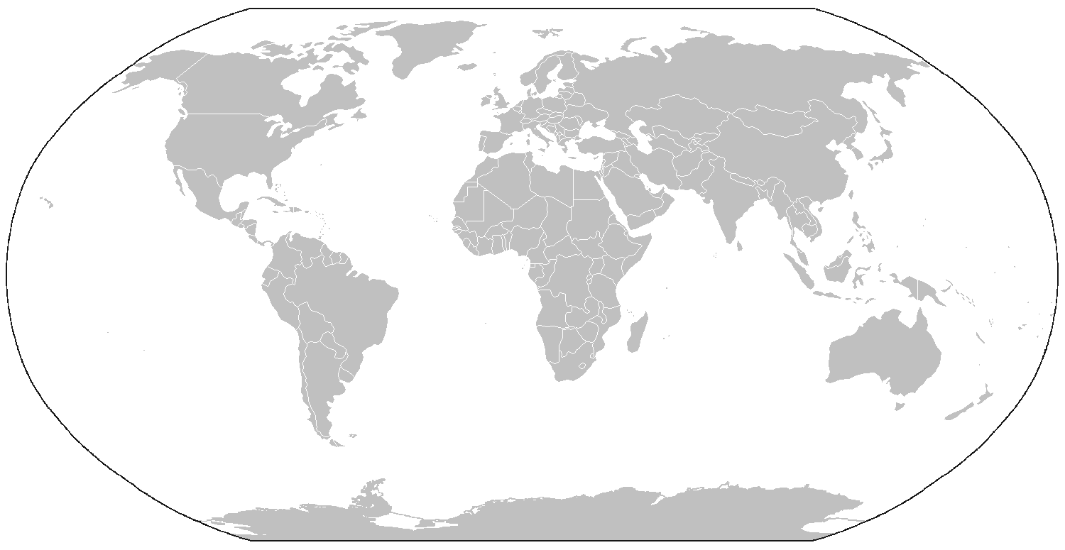
A blank map of the world as of 2005, with country outlines, for making country locator maps. Similar to Image:BlankMap-World.png with additions of the projection periphery and rendition of Antarctica, et al., this map uses the Robinson projection centered on the Greenwich Prime Meridian and includes various en:microstates/en:island nations. All territories indicated in the UN listing of territories and regions are exhibited.
The map was made by User:Vardion; adapted by User:E Pluribus Anthony and User:QuartierLatin1968 for Wikipedia.
[edit] Licensing
| This image has been released into the public domain by its author, Vardion. This applies worldwide. In some countries this may not be legally possible; if so: العربية | Български | Deutsch | Ελληνικά | English | Español | Français | Italiano | 日本語 | 한국어 | Polski | Русский | Српски / Srpski | Svenska | தமிழ் | Українська | 中文(繁體) | 中文(简体) +/- |
File history
Click on a date/time to view the file as it appeared at that time.
| Date/Time | Dimensions | User | Comment | |
|---|---|---|---|---|
| current | 20:17, 25 February 2008 | 1,500×775 (66 KB) | Nightstallion | (Reverted to version as of :, 0 <> ) |
| 20:05, 25 February 2008 | 1,500×775 (17 KB) | Cp6 | (Reverted to version as of :, 0 <> ) | |
| 11:14, 25 February 2008 | 1,500×775 (66 KB) | Nightstallion | (Reverted to version as of :, 0 <> ) | |
| 13:35, 24 February 2008 | 1,500×775 (17 KB) | Cp6 | (Reverted to version as of :, 0 <> ) | |
| 12:42, 24 February 2008 | 1,500×775 (66 KB) | Nightstallion | (Reverted to version as of :, 0 <> ) | |
| 22:27, 23 February 2008 | 1,500×775 (17 KB) | Cp6 | (No OVERWRITING, look disc) | |
| 10:55, 23 February 2008 | 1,500×775 (66 KB) | Nightstallion | (Reverted to version as of :, 0 <> ) | |
| 22:05, 22 February 2008 | 1,500×775 (17 KB) | Cp6 | (It isn't internationally recognized, look at Kosovo relations.png) | |
| 23:11, 18 February 2008 | 1,500×775 (66 KB) | Hoshie | (Added Kosovo since it has been internationally recognized. ) | |
| 06:16, 9 June 2007 | 1,500×775 (17 KB) | David Levy | (better compression) | |
| 10:38, 9 August 2006 | 1,500×775 (20 KB) | Roke | (add montenegro after request) | |
| 06:16, 28 March 2006 | 1,500×775 (17 KB) | David Levy | (better compression) | |
| 02:25, 28 March 2006 | 1,500×775 (26 KB) | E Pluribus Anthony | (World map: blank, with borders (2005) [alt]) | |
| 20:47, 26 March 2006 | 1,500×775 (17 KB) | David Levy | (better compression) | |
| 16:58, 26 March 2006 | 1,488×755 (35 KB) | E Pluribus Anthony | (World map: blank, with borders (2005) [alt]) | |
| 18:40, 25 February 2006 | 1,350×625 (14 KB) | David Levy | (better compression) | |
| 03:49, 30 January 2006 | 1,357×628 (45 KB) | E Pluribus Anthony | (World map: blank, with borders (2005) [alt]) |

