Image:BlankMap-World-Subdivisions.PNG
From Wikipedia, the free encyclopedia
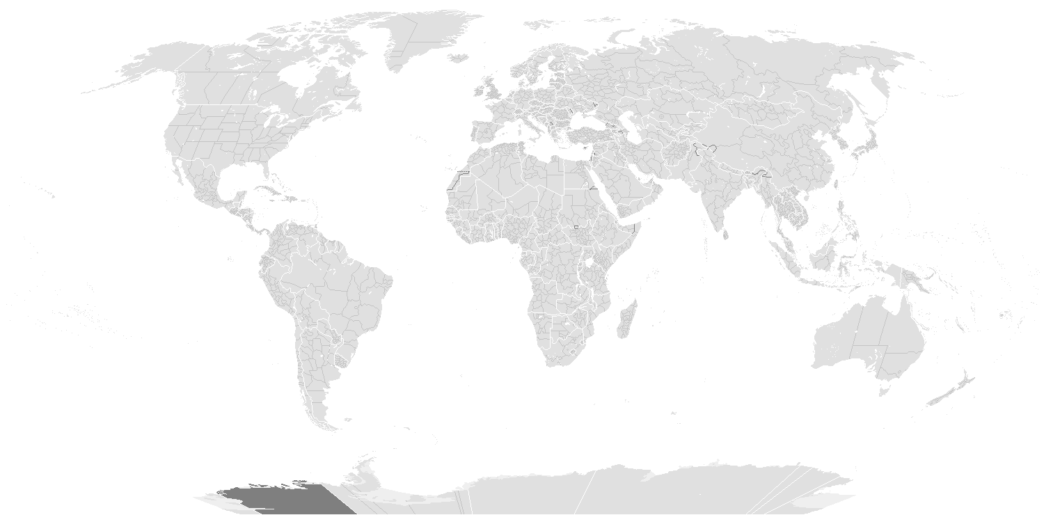
Size of this preview: 800 × 352 pixels
Full resolution (1,427 × 628 pixels, file size: 62 KB, MIME type: image/png)
| | This is a file from the Wikimedia Commons. The description on its description page there is shown below.
|
Contents |
[edit] Summary
A blank world map showing subdivisions of US, Canada, UK, Australia, Russia, China, India, Argentina, Brazil, Serbia, Bosnia and Herzegovina, D.R. Congo, Mexico, Uzbekistan, Kazakhstan, Turkmenistan, Belarus, Syria, Japan, Mongolia, New Zealand, Pakistan and South Africa.
Feel free to add more subdivisions. If you use the subdivision maps for any other image I strongly advise changing the subdivision colours to suit your purposes (eg. In Photoshop use the bucket of paint thing with contiguous turned off and click on any subdivision border with your preferred colour.) The colours chosen here are to differentiate the types of borders, not dictate use.
[edit] Colours
| Name | Decimal | Hex | |
| Water-bodies: | 255,255,255 | #FFFFFF | |
| Landmasses: | 185,185,185 | #B9B9B9 | |
| National Borders: | 255,255,255 | #FFFFFF | |
| Subnational Borders: | 202,202,202 | #CACACA |
[edit] Sources
- Subdivisions of Bosnia and Herzegovina; note: The Brčko District is not shown on the map due to the scale being too small. (see reference)
- States of Brazil (see reference)
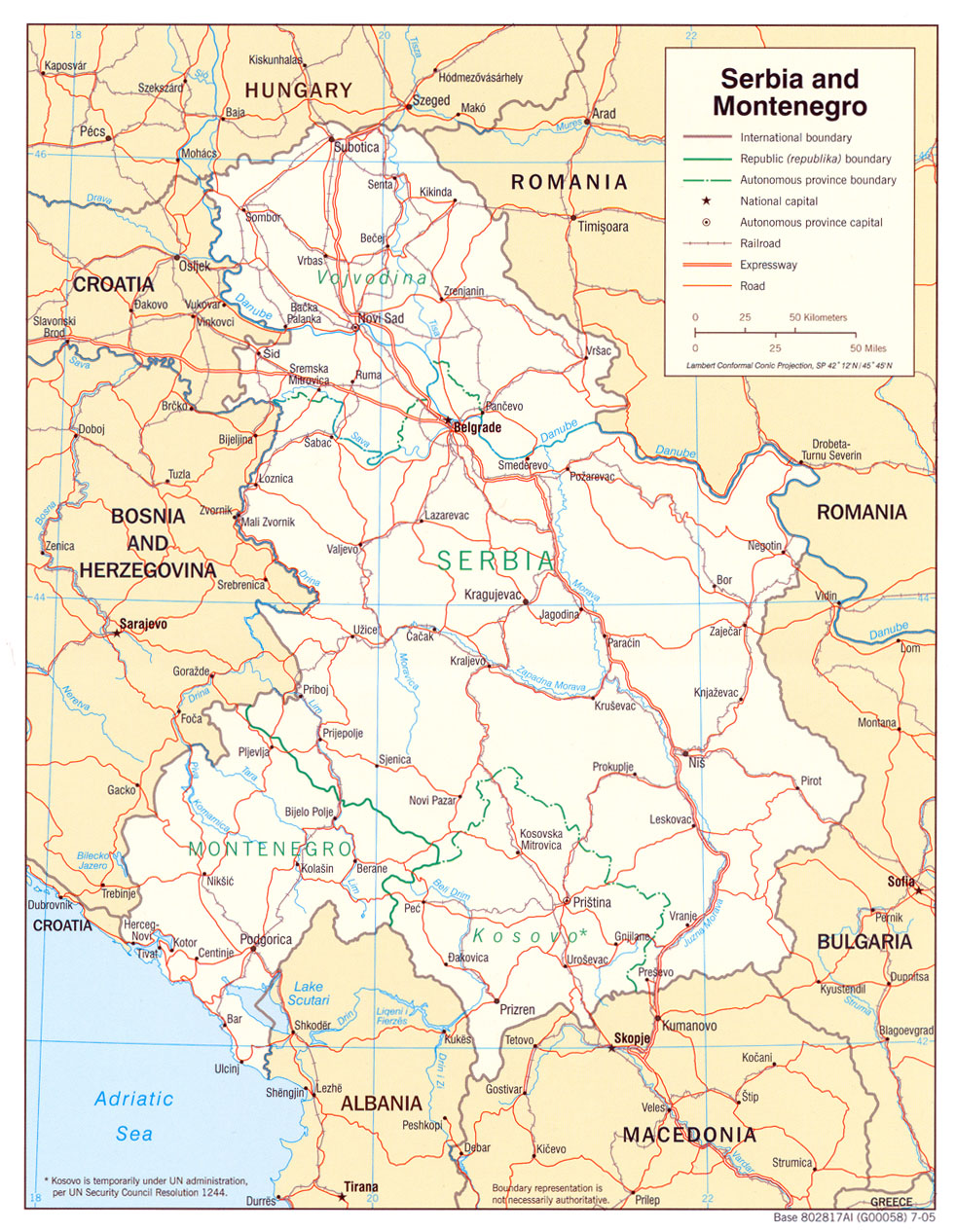
- Subdivisions of Serbia (see reference; a 2005 CIA wall map of the former Serbia and Montenegro)
- U.S. states (see reference)
[edit] Licensing
| I, the copyright holder of this work, hereby release it into the public domain. This applies worldwide. In case this is not legally possible: Afrikaans | Alemannisch | Aragonés | العربية | Asturianu | Български | Català | Česky | Cymraeg | Dansk | Deutsch | Eʋegbe | Ελληνικά | English | Español | Esperanto | Euskara | Estremeñu | فارسی | Français | Galego | 한국어 | हिन्दी | Hrvatski | Ido | Bahasa Indonesia | Íslenska | Italiano | עברית | Kurdî / كوردی | Latina | Lietuvių | Latviešu | Magyar | Македонски | Bahasa Melayu | Nederlands | Norsk (bokmål) | Norsk (nynorsk) | 日本語 | Polski | Português | Ripoarisch | Română | Русский | Shqip | Slovenčina | Slovenščina | Српски / Srpski | Svenska | ไทย | Tagalog | Türkçe | Українська | Tiếng Việt | Walon | 中文(简体) | 中文(繁體) | zh-yue-hant | +/- |
 |
This map image should be recreated using vector graphics as an SVG file. This has several advantages; see Commons:Media for cleanup for more information. If an SVG form of this image is already available, please upload it. After uploading an SVG, replace this template with template {{Vector version available|new image name.svg}} in this image. |
|
العربية | Български | Català | Česky | Dansk | Deutsch | English | Esperanto | Español | Français | 한국어 | Italiano | Magyar | Lietuvių | Nederlands | 日本語 | Polski | Português | Română | Русский | Suomi | Svenska | Türkçe | Українська | Tiếng Việt | मराठी | 中文(繁體) | 中文(简体) | +/- |
|
File history
Click on a date/time to view the file as it appeared at that time.
| Date/Time | Dimensions | User | Comment | |
|---|---|---|---|---|
| current | 05:03, 4 May 2008 | 1,427×628 (62 KB) | Saimdusan | (Krasnoyarsk Krai is in split in three in the older version.) |
| 07:35, 7 March 2008 | 1,427×628 (62 KB) | Saimdusan | (Added Mongolia, Pakistan and New Zealand.) | |
| 20:05, 25 February 2008 | 1,427×628 (61 KB) | Cp6 | (Reverted to version as of :, 0 <> ) | |
| 11:15, 25 February 2008 | 1,427×628 (61 KB) | Nightstallion | (Reverted to version as of :, 0 <> ) | |
| 13:38, 24 February 2008 | 1,427×628 (61 KB) | Cp6 | (Reverted to version as of :, 0 <> ) | |
| 12:44, 24 February 2008 | 1,427×628 (61 KB) | Nightstallion | (Reverted to version as of :, 0 <> ) | |
| 22:27, 23 February 2008 | 1,427×628 (61 KB) | Cp6 | (No OVERWRITING, look disc) | |
| 10:56, 23 February 2008 | 1,427×628 (61 KB) | Nightstallion | (Reverted to version as of :, 0 <> ) | |
| 22:10, 22 February 2008 | 1,427×628 (61 KB) | Cp6 | (It isn't internationally recognized, look Image:Kosovo relations.png) | |
| 23:13, 18 February 2008 | 1,427×628 (61 KB) | Hoshie | (Added Kosovo since it has been internationally recognized. ) | |
| 23:33, 9 November 2007 | 1,427×628 (61 KB) | Hoshie | (redrew Cabinda (Angola)) | |
| 10:07, 8 November 2007 | 1,427×628 (61 KB) | Hoshie | (added Jervis Bay Territory (Australia); fixed NC/SC boundary. ) | |
| 04:33, 5 November 2007 | 1,425×625 (61 KB) | Wiz9999 | (Corrected proportions to correlate with BlankMap-World.png) | |
| 07:30, 22 August 2007 | 1,427×628 (61 KB) | Hoshie | (Added Cabinda (Angola); under same lic. as original.) | |
| 01:37, 3 May 2007 | 1,427×628 (61 KB) | Wiz9999 | (Adding South Africa Provinces) | |
| 13:56, 15 February 2007 | 1,427×628 (40 KB) | Aivazovsky | (Added Syria and Belarus) | |
| 13:38, 15 February 2007 | 1,427×628 (40 KB) | Aivazovsky | (Added Turkmenistan, Uzbekistan, and Kazakhstan subdivisions - check for inaccuracies) | |
| 12:56, 15 February 2007 | 1,427×628 (39 KB) | Aivazovsky | ||
| 09:59, 11 February 2007 | 1,427×628 (60 KB) | Hoshie | (Redid the Kosovo boundry.) | |
| 15:00, 2 January 2007 | 1,427×628 (60 KB) | Roke | (+dem congo) | |
| 05:40, 28 December 2006 | 1,427×628 (59 KB) | Hoshie | (Retouched the BiH part of the map based on Image:RS Location.PNG.) | |
| 05:10, 28 December 2006 | 1,427×628 (59 KB) | Hoshie | (added subdivisions of Serbia and Bosnia. Have refs. See description.) | |
| 07:48, 22 December 2006 | 1,427×628 (59 KB) | Hexagon1 | (???) | |
| 07:44, 22 December 2006 | 1,427×628 (59 KB) | Hexagon1 | (+mexico, fix canada, added water bodies) | |
| 09:01, 19 December 2006 | 1,427×628 (59 KB) | Hexagon1 | (fix some borders) | |
| 08:46, 19 December 2006 | 1,427×628 (59 KB) | Hexagon1 | (fx) | |
| 08:42, 19 December 2006 | 1,427×628 (36 KB) | Hexagon1 | (fx colour) | |
| 07:20, 19 December 2006 | 1,427×628 (60 KB) | Hexagon1 | (sub) |

