Image:BlankMap-World-1962.png
From Wikipedia, the free encyclopedia
Size of this preview: 800 × 370 pixels
Full resolution (1,357 × 628 pixels, file size: 48 KB, MIME type: image/png)
| | This is a file from the Wikimedia Commons. The description on its description page there is shown below.
|
[edit] Summary
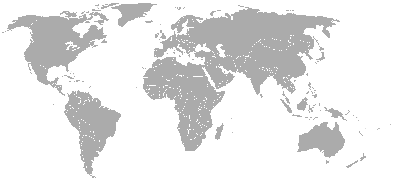
Blank world map with 1962 borders. This is accurate between July 1, 1962 (Belgian colony of Ruanda-Urundi separated into Rwanda and Burundi.) and August 31, 1963 (Singapore, Sabah, Sarawak and Malaya join to form Malaysia). See list for more information.
| Blank maps of the world for historical use | |
| pre-1800 | |
|
19th century |
|
|
20th century |
|
|
WWI · 1921 · 1935 · 1937 · 1938 · 1939 · WWII · 1957 · 1959 · 1962 · 1970 · 1985 · 1990 · 1993 · 2000 · 2005 · current |
|
| (this template: · view · discuss ) | |
[edit] Licensing

File history
Click on a date/time to view the file as it appeared at that time.
| Date/Time | Dimensions | User | Comment | |
|---|---|---|---|---|
| current | 02:49, 24 September 2007 | 1,357×628 (48 KB) | Hoshie | (put the (N/S) Yemen boundary in white due to the fact the boundaries in southern Saudi Arabia have been disputed, undemarcated, or undisclosed over the years.) |
| 00:43, 6 August 2007 | 1,357×628 (48 KB) | Hoshie | (Added Cabinda; under same lic. as original.) | |
| 10:27, 28 January 2007 | 1,357×628 (48 KB) | Hoshie | (added Ifni, a Spanish enclave.) | |
| 23:54, 5 January 2007 | 1,357×628 (48 KB) | Roke | (Blank world map with 1962 borders. This is accurate between December 19, 1961 (India takes over the Portugese colony of Goa) and July 1, 1962 (Belgian colony of Ruanda-Urundi separated into Rwanda and Burundi.) See [[w:List of national border changes sinc) |
File links
The following pages on the English Wikipedia link to this file (pages on other projects are not listed):

