Image:BlankMap-USA-states.PNG
From Wikipedia, the free encyclopedia
Size of this preview: 800 × 520 pixels
Full resolution (1,513 × 983 pixels, file size: 31 KB, MIME type: image/png)
| | This is a file from the Wikimedia Commons. The description on its description page there is shown below.
|
| Description |
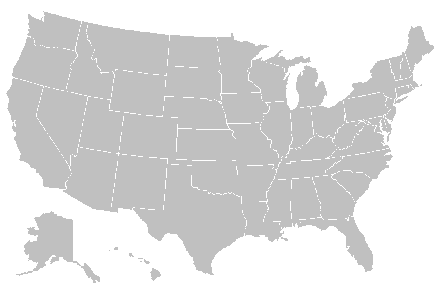
Blank map of US states, based on Image:BlankMap-World-USA.png. Designed for one click coloring of states: the area representing Alaska, Hawaii, Michigan, New York-Long Island and the Florida keys have been joined so that they can be colored in one-click. Please then overlay it with a white layer to hide the lines. This can be done in a program such as GIMP. |
|---|---|
| Source |
Original version uploaded to en.wiki by Brianski on 29 July 2006. |
| Date | |
| Author | |
| Permission (Reusing this image) |
|
| Other versions |
|

 A vector version of this image (SVG) is available. For more information about vector graphics, read about Commons transition to SVG. Български | Deutsch | English | Español | Français | Galego | עברית | Magyar | Bahasa Indonesia | Italiano | 日本語 | 한국어 | Lietuvių | Polski | Português | Русский | Српски / Srpski | Українська | 中文(简体) | 中文(繁體) | +/- |
 |
File history
Click on a date/time to view the file as it appeared at that time.
| Date/Time | Dimensions | User | Comment | |
|---|---|---|---|---|
| current | 22:40, 27 May 2007 | 1,513×983 (31 KB) | Roke | (better map) |
| 10:08, 2 December 2006 | 841×580 (16 KB) | Roke | (nw angle of minnesota) | |
| 03:23, 15 August 2006 | 841×580 (27 KB) | Roke | (eastern shore of virginia) | |
| 14:39, 26 March 2006 | 841×580 (27 KB) | Roke | (better version) | |
| 12:04, 25 March 2006 | 742×334 (13 KB) | Roke | (alaska) | |
| 12:03, 25 March 2006 | 1,393×628 (48 KB) | Roke | (alaska) | |
| 11:53, 25 March 2006 | 742×334 (13 KB) | Roke | (Blank map of USA states, based on Image:BlankMap-World-USA.png Category:Maps of the United States) |

