Image:Belgium provinces regions.png
From Wikipedia, the free encyclopedia
Size of this preview: 733 × 600 pixels
Full resolution (1,000 × 818 pixels, file size: 40 KB, MIME type: image/png)
| | This is a file from the Wikimedia Commons. The description on its description page there is shown below.
|
[edit] Summary
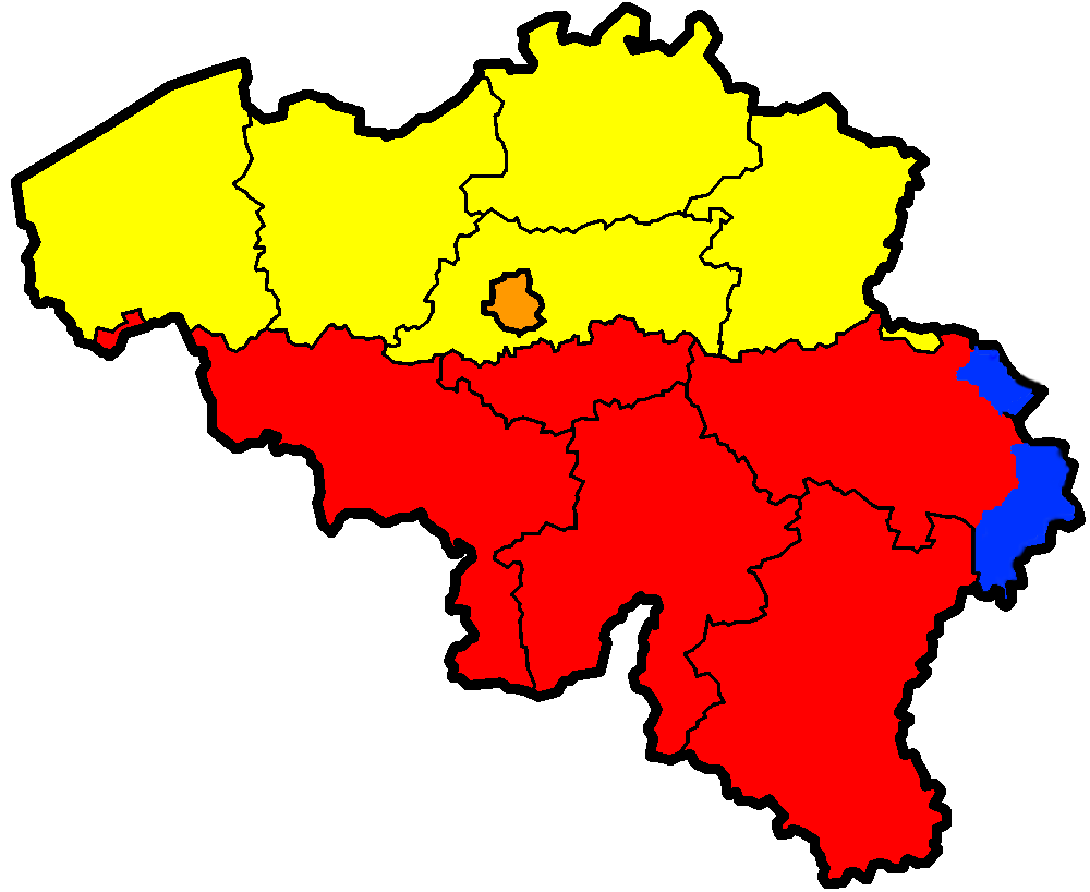
| Description |
Map of Belgium showing the provinces (black lines) and regions (colours). Yellow = Flanders, Red = Wallonia, Blue = German-speaking part, Orange = Brussels Capital Region. |
|---|---|
| Source |
Merged from Image:Gemeenschappenkaart.png and Image:Belgium provinces blank.png by User:Stevenfruitsmaak. |
| Date |
October 11, 2006 |
| Author | |
| Permission (Reusing this image) |
see below |
| Other versions | Image:Gemeenschappenkaart.png |
[edit] Licensing

File history
Click on a date/time to view the file as it appeared at that time.
| Date/Time | Dimensions | User | Comment | |
|---|---|---|---|---|
| current | 14:11, 11 October 2006 | 1,000×818 (40 KB) | Stevenfruitsmaak | ({{Information |Description=Map of Belgium showing the provinces (black lines) and regions (colours). Yellow = Flanders, Red = Wallonia, Blue = German-speaking part, Orange = Brussels Capital Region. |Source=Merged from Image:Gemeenschappenkaart.png a) |
| 14:02, 11 October 2006 | 1,000×818 (40 KB) | Stevenfruitsmaak | ({{Information |Description=Map of Belgium showing the provinces (black lines) and regions (colours). Yellow = Flanders, Red = Wallonia, Blue = German-speaking part, Orange = Brussels Capital Region. |Source=Merged from Image:Gemeenschappenkaart.png a) |
File links
The following pages on the English Wikipedia link to this file (pages on other projects are not listed):

