Image:Barter Island White Alice Tropo.jpg
From Wikipedia, the free encyclopedia
Size of this preview: 749 × 600 pixels
Full resolution (1,281 × 1,026 pixels, file size: 277 KB, MIME type: image/jpeg)
| | This is a file from the Wikimedia Commons. The description on its description page there is shown below.
|
| Description |
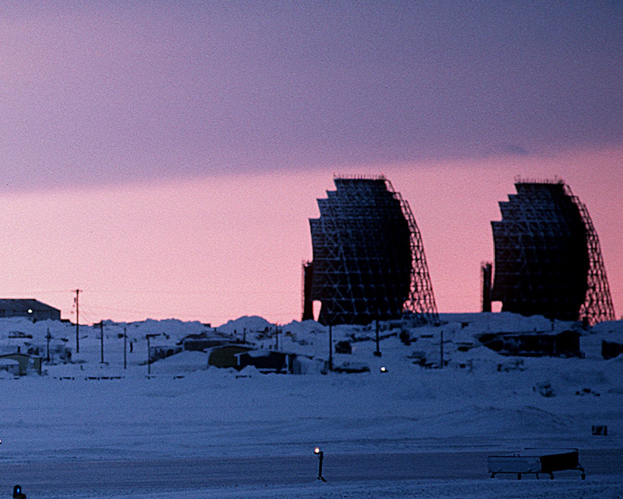
Cropped version, focusing on White Alice troposcatter communication antennas. Original description:The sun sets behind a radar station. The station is one of 30 under U.S. Air Force control on the Distant Early Warning (DEW) Line which runs approximately 3,600 miles, from Alaska, across Northern Canada to Greenland. |
|||
|---|---|---|---|---|
| Source | ||||
| Date |
Shot: 20 Feb 1987 |
|||
| Author |
Camera Operator: TECH. SGT. DONALD L. WETTERMAN |
|||
| Permission (Reusing this image) |
|
|||
| Other versions | Cropped version of Image:Barter Island DEW line.jpg |

File history
Click on a date/time to view the file as it appeared at that time.
| Date/Time | Dimensions | User | Comment | |
|---|---|---|---|---|
| current | 00:53, 1 December 2006 | 1,281×1,026 (277 KB) | Dual Freq | ({{Information |Source=[http://www.dodmedia.osd.mil/Assets/1988/Air_Force/DF-ST-88-03445.JPEG ID: DFST8803445] |Author=Camera Operator: TECH. SGT. DONALD L. WETTERMAN</br>Service Depicted: Air Force</br>Command Shown: F3203 |Description=Cropped version,) |
File links
The following pages on the English Wikipedia link to this file (pages on other projects are not listed):

