Image:Barnstable county 1890.PNG
From Wikipedia, the free encyclopedia
No higher resolution available.
Barnstable_county_1890.PNG (403 × 374 pixels, file size: 140 KB, MIME type: image/png)
| | This is a file from the Wikimedia Commons. The description on its description page there is shown below.
|
[edit] Summary
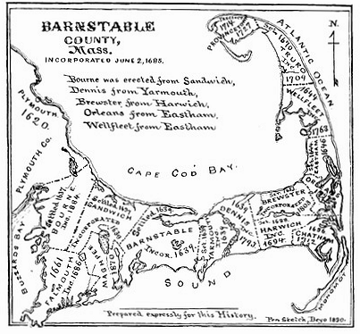
| Description |
Map of Barnstable County, Massachusetts from 1890 |
|---|---|
| Source | |
| Date |
1890 |
| Author |
Deyo, Simeon L |
| Permission (Reusing this image) |
Copyright expired (more than 70 years old) |
[edit] Licensing
| This image (or other media file) is in the public domain because its copyright has expired. This applies to the United States, Canada, the European Union and those countries with a copyright term of life of the author plus 70 years.
العربية | Asturianu | Български | Català | Česky | Dansk | Deutsch | English | Ελληνικά | Esperanto | Español | Euskara | فارسی | Français | Gaeilge | Galego | עברית | हिन्दी | Bahasa Indonesia | Italiano | 日本語 | 한국어 | Kurdî / كوردی | Lietuvių | Magyar | Nederlands | Norsk (nynorsk) | Bahasa Melayu | Polski | Português | Română | Русский | Slovenčina | Slovenščina | Shqip | Suomi | Sámegiella | Türkçe | 中文(简体) | 中文(繁體) | 粵語 | +/- |
File history
Click on a date/time to view the file as it appeared at that time.
| Date/Time | Dimensions | User | Comment | |
|---|---|---|---|---|
| current | 05:08, 14 August 2007 | 403×374 (140 KB) | Jeeny | (straightened a bit) |
| 05:26, 4 April 2007 | 400×371 (119 KB) | Jayron32 | ({{Information |Description=Map of Barnstable County, Massachusetts from 1890 |Source=http://capecodhistory.us/index.htm |Date=1890 |Author=Dyer |Permission=Copyright expired (more than 70 years old) |other_versions= }}) |

