Image:Bani 4.83783W 13.39309N.jpg
From Wikipedia, the free encyclopedia
Size of this preview: 800 × 599 pixels
Full resolution (1,280 × 958 pixels, file size: 359 KB, MIME type: image/jpeg)
| | This is a file from the Wikimedia Commons. The description on its description page there is shown below.
|
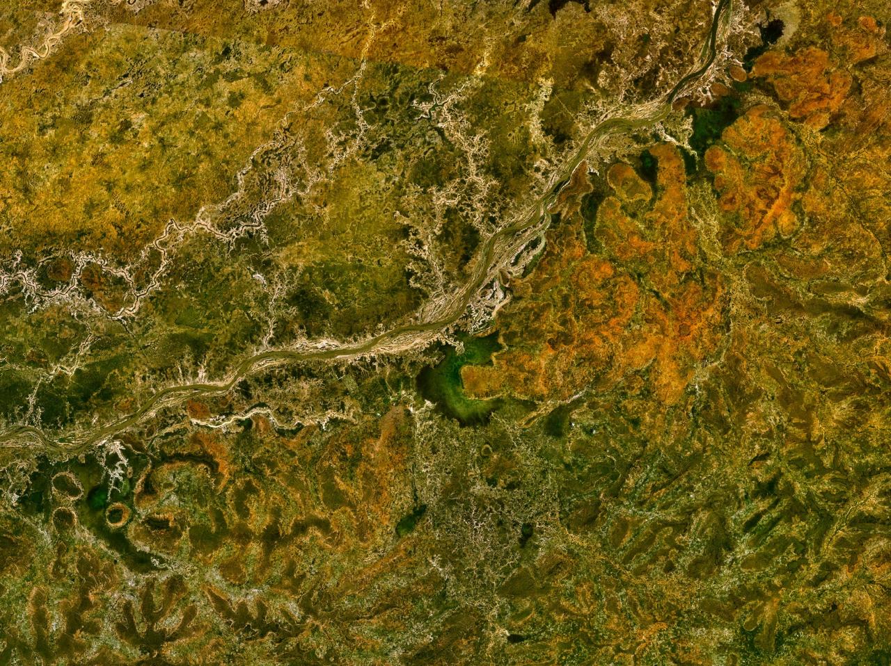
Bani River in Mali.
NASA World Wind screenshot.
| This image is in the public domain because it is a screenshot from NASA’s globe software World Wind using Blue Marble, Landsat or USGS layer, all of which are in public domain. |
|
File history
Click on a date/time to view the file as it appeared at that time.
| Date/Time | Dimensions | User | Comment | |
|---|---|---|---|---|
| current | 14:05, 16 May 2005 | 1,280×958 (359 KB) | Rex | (Bani River in Mali. NASA World Wind screenshot. {{PD-USGov-NASA}} Category:Rivers Category:Maps of Mali) |
File links
The following pages on the English Wikipedia link to this file (pages on other projects are not listed):

