Image:Balleny Islands and Antarctic coast.jpg
From Wikipedia, the free encyclopedia
Size of this preview: 428 × 599 pixels
Full resolution (2,000 × 2,800 pixels, file size: 874 KB, MIME type: image/jpeg)
| | This is a file from the Wikimedia Commons. The description on its description page there is shown below.
|
[edit] Summary
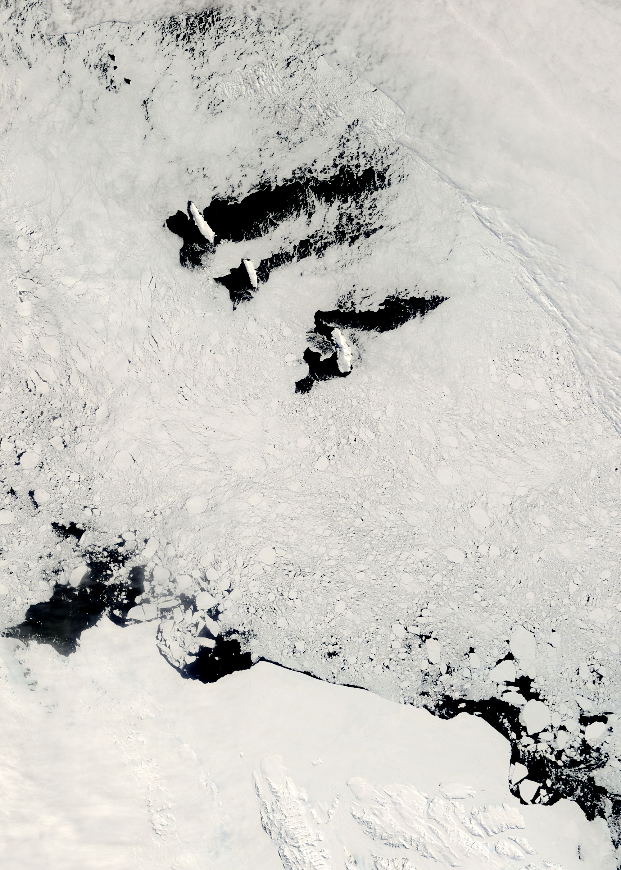
| Description |
Balleny Islands, near the Antarctic coast, from the Moderate Resolution Imaging Spectroradiometer (MODIS) on NASA’s Terra satellite. |
|---|---|
| Source | |
| Date | |
| Author |
MODIS Rapid Response Team, NASA Goddard Space Flight Center |
| Permission (Reusing this image) |
Public domain - original work of NASA |
[edit] Licensing
|
|
This file is in the public domain because it was created by NASA. NASA copyright policy states that "NASA material is not protected by copyright unless noted". (NASA copyright policy page or JPL Image Use Policy).
Deutsch | English | Español | Français | Nederlands | Português | Русский | 中文(简体) | 中文(繁體) | +/- |
|
 |
Warnings:
|
File history
Click on a date/time to view the file as it appeared at that time.
| Date/Time | Dimensions | User | Comment | |
|---|---|---|---|---|
| current | 22:30, 26 December 2007 | 2,000×2,800 (874 KB) | Avenue | ({{Information| |Description=Balleny Islands, near the Antarctic coast, from the Moderate Resolution Imaging Spectroradiometer (MODIS) on NASA’s Terra satellite. |Source=[http://rapidfire.sci.gsfc.nasa.gov/gallery/?2007351-1217/Anta) |
File links
The following pages on the English Wikipedia link to this file (pages on other projects are not listed):


![[1]](http://rapidfire.sci.gsfc.nasa.gov/gallery/?2007351-1217/Antarctica.A2007351.2220.250m.jpg)