Image:ASEAN Regional Forum Map.png
From Wikipedia, the free encyclopedia
Size of this preview: 800 × 370 pixels
Full resolution (1,357 × 628 pixels, file size: 52 KB, MIME type: image/png)
| | This is a file from the Wikimedia Commons. The description on its description page there is shown below.
|
[edit] Summary
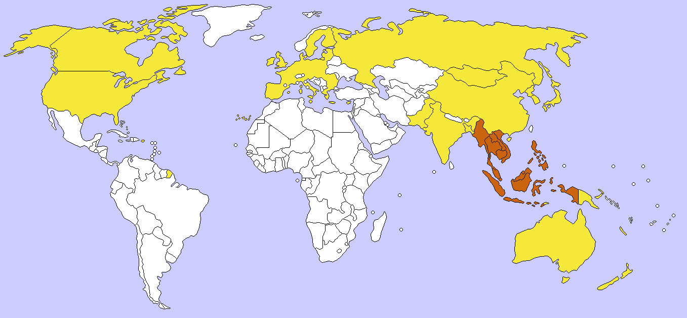
ASEAN in orange and ASEAN Regional Forum participants in yellow. The European Union is shown without internal borders because it participates as a single entity in the forum. Created by User:Aris Katsaris modifying Image:BlankMap-World-v4-colored.png. Aris Katsaris 22:07, 20 March 2006 (UTC)
[edit] Licensing
|

File history
Click on a date/time to view the file as it appeared at that time.
| Date/Time | Dimensions | User | Comment | |
|---|---|---|---|---|
| current | 07:27, 8 December 2006 | 1,357×628 (52 KB) | Hexagon1 | (EU-27) |
| 07:44, 28 July 2006 | 1,357×628 (52 KB) | Nightstallion | (bangladesh joined) | |
| 12:49, 4 July 2006 | 1,357×628 (52 KB) | Satesclop | ||
| 22:07, 20 March 2006 | 1,357×628 (45 KB) | Aris Katsaris | (ASEAN in orange and ASEAN Regional Forum participants in yellow. The European Union is shown without internal borders because it participates as a single entity in the forum. Created by User:Aris Katsaris modifying [[:Image:BlankMap-World-v4-colored.p) |
File links
The following pages on the English Wikipedia link to this file (pages on other projects are not listed):

