Image:Algeria France Locator.png
From Wikipedia, the free encyclopedia
No higher resolution available.
Algeria_France_Locator.png (355 × 297 pixels, file size: 28 KB, MIME type: image/png)
| | This is a file from the Wikimedia Commons. The description on its description page there is shown below.
|
| Description |
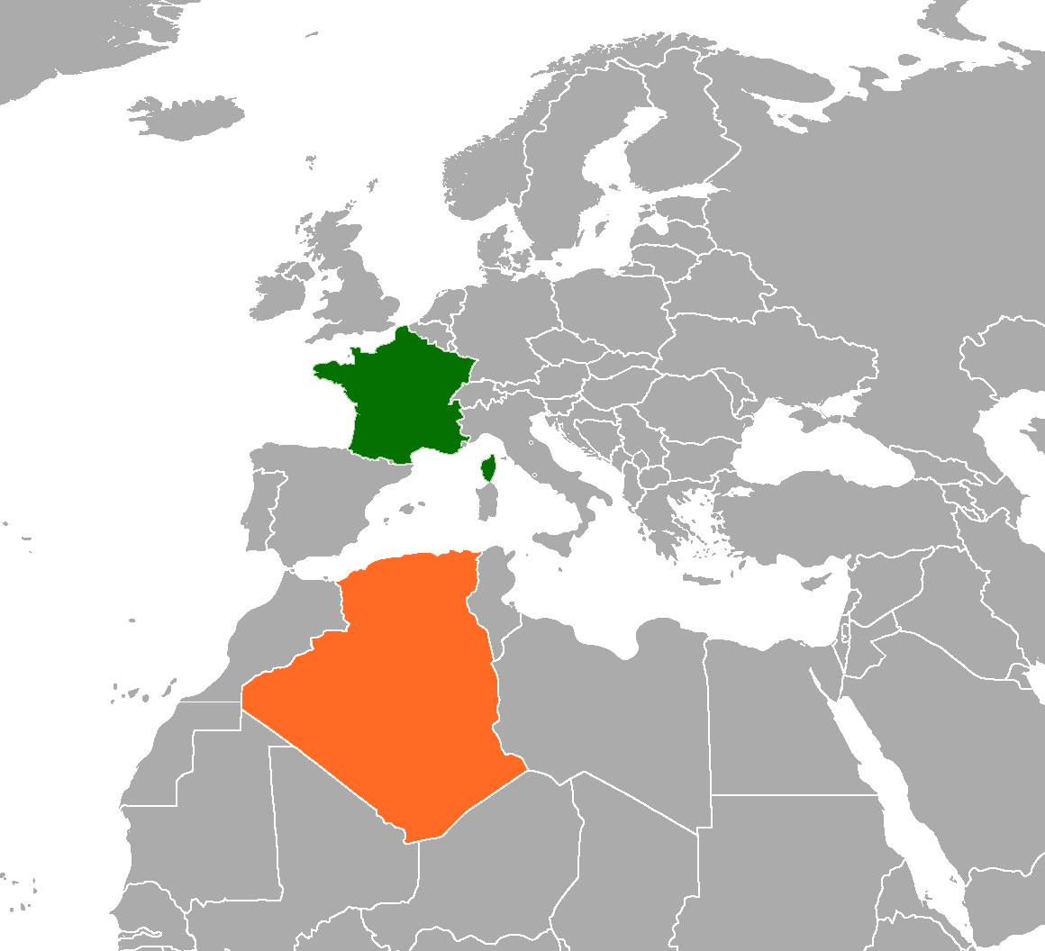
Locator map showing Algeria and France |
||
|---|---|---|---|
| Source |
self-made based on Image:BlankMap-World6, compact.svg |
||
| Date |
2008-05-28 |
||
| Author | |||
| Permission (Reusing this image) |
|
File history
Click on a date/time to view the file as it appeared at that time.
| Date/Time | Dimensions | User | Comment | |
|---|---|---|---|---|
| current | 18:39, 1 June 2008 | 355×297 (28 KB) | Thomas.macmillan | ( ) |
| 05:25, 28 May 2008 | 1,091×805 (109 KB) | Mangostar | ({{Information |Description=Locator map showing Algeria and France |Source=self-made based on Image:BlankMap-World6, compact.svg |Date=2008-05-28 |Author= Mangostar |Permission={{PD-self}} |other_versions= }} ) |

