Image:Alexander-Island.jpg
From Wikipedia, the free encyclopedia
Size of this preview: 731 × 599 pixels
Full resolution (2,805 × 2,300 pixels, file size: 4.23 MB, MIME type: image/jpeg)
| | This is a file from the Wikimedia Commons. The description on its description page there is shown below.
|
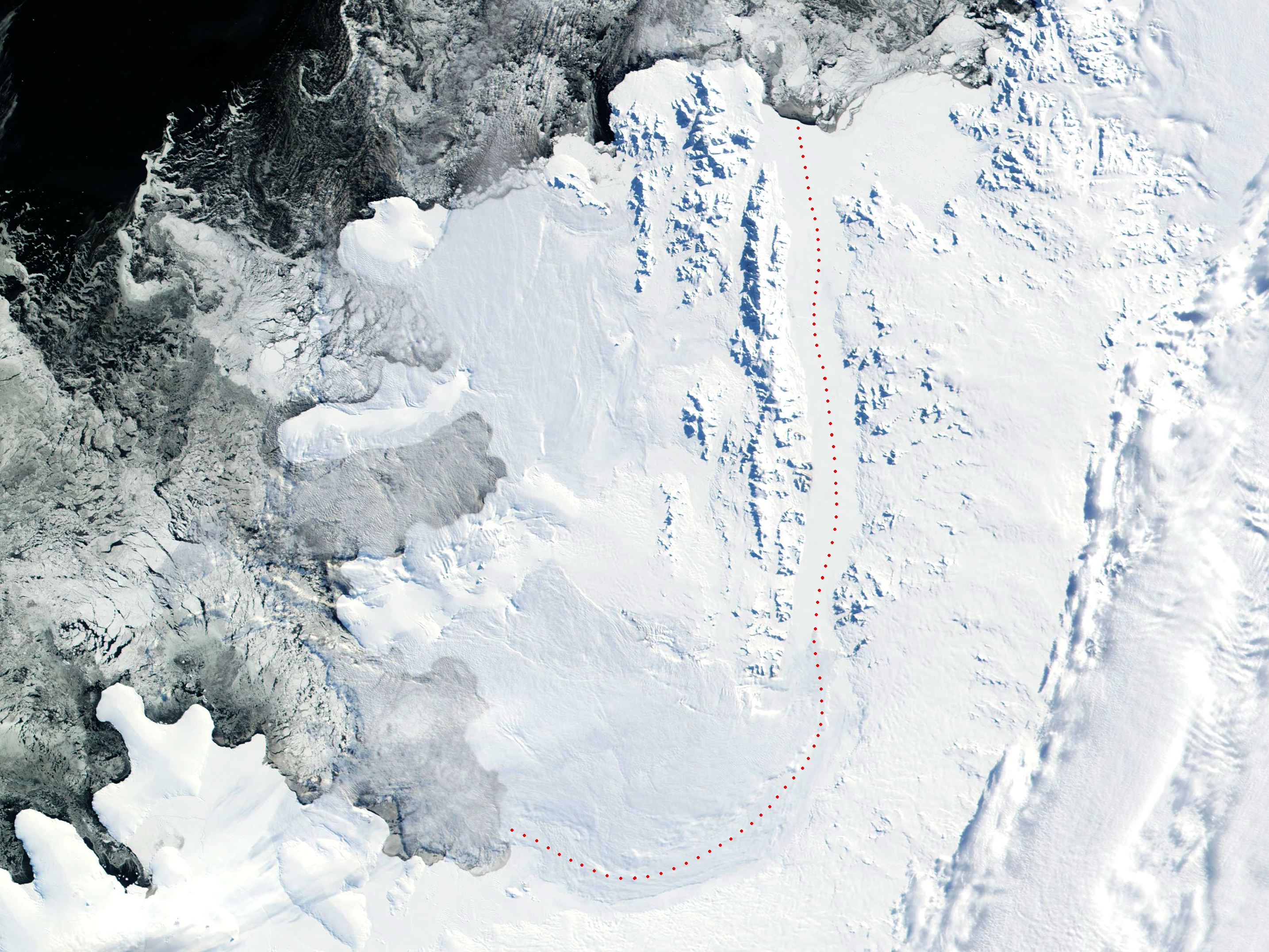
2002 NASA Visible Earth satellite image: Bryan Coast, English Coast, Alexander Island, Fallieres Coast, and Bellingshausen Sea, Antarctica.
Fragment edited and published by Apcbg 13:29, 22 July 2006 (UTC).
|
|
This file is in the public domain because it was created by NASA. NASA copyright policy states that "NASA material is not protected by copyright unless noted". (NASA copyright policy page or JPL Image Use Policy).
Deutsch | English | Español | Français | Nederlands | Português | Русский | 中文(简体) | 中文(繁體) | +/- |
|
 |
Warnings:
|
File history
Click on a date/time to view the file as it appeared at that time.
| Date/Time | Dimensions | User | Comment | |
|---|---|---|---|---|
| current | 13:29, 22 July 2006 | 2,805×2,300 (4.23 MB) | Apcbg | (2002 NASA Visible Earth satellite image: Bryan Coast, English Coast, Alexander Island, Fallieres Coast, and Bellingshausen Sea, Antarctica. Fragment edited and published by ~~~~. {{nasa}}) |
File links
The following pages on the English Wikipedia link to this file (pages on other projects are not listed):

